Route 257 | ||||
|---|---|---|---|---|
 | ||||
| Route information | ||||
| Length | 85 km[1] (53 mi) | |||
| Major junctions | ||||
| South end | ||||
| North end | ||||
| Location | ||||
| Country | Canada | |||
| Province | Quebec | |||
| Major cities | Weedon, Scotstown | |||
| Highway system | ||||
| ||||

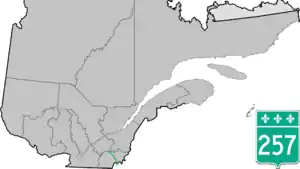
Route 257 is a north–south highway on the south shore of the St. Lawrence River, in the Eastern Townships region of Quebec, Canada. Its northern terminus is in Saint-Adrien at a junction with Route 216, and its southern terminus is at the Pittsburg–Chartierville Border Crossing, where it becomes U.S. Route 3 as it enters Pittsburg, New Hampshire.
Towns along Route 257
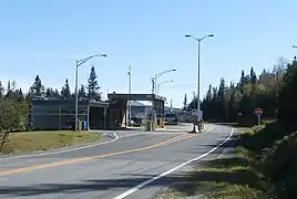 South end of Route 257 at Chartierville border control.
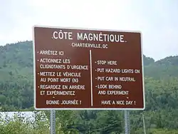 In Chartierville, a posted magnetic hill.
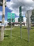 Junction with 210 in Chartierville.
 Routes 214 and 257 in Scotstown.
 Route 257 in Lingwick.
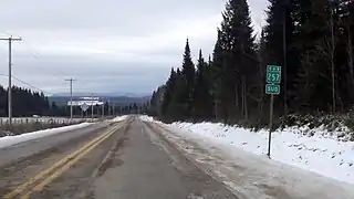 Route 257 near Weedon.
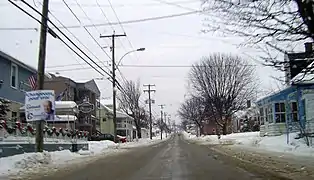 Saint-Janvier street in Weedon.
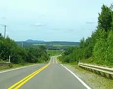 Route 257 towards mont Ham.
See also
References
- ↑ Ministère des transports, "Distances routières", page (?), Les Publications du Québec, 2005
External links
 Media related to Quebec Route 257 at Wikimedia Commons
- Route 257 on Google Maps
- Provincial Route Map (Courtesy of the Quebec Ministry of Transportation) (in French)
This article is issued from Wikipedia. The text is licensed under Creative Commons - Attribution - Sharealike. Additional terms may apply for the media files.