Route 303 | ||||
|---|---|---|---|---|
 | ||||
| Route information | ||||
| Maintained by Transports Québec | ||||
| Length | 50.1 km[1] (31.1 mi) | |||
| Major junctions | ||||
| South end | ||||
| North end | ||||
| Location | ||||
| Country | Canada | |||
| Province | Quebec | |||
| Highway system | ||||
| ||||

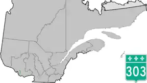
Route 303 is provincial secondary highway located in the Outaouais region in western Quebec. The 47-kilometer route in the Pontiac County runs from Portage-du-Fort (near the Ontario-Quebec crossing towards Renfrew County) towards Otter Lake at the junction of Route 301.
Municipalities along Highway 303
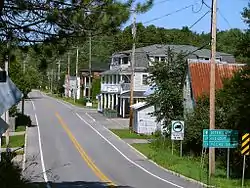
Route 303 in Ladysmith (Thorne).
Major intersections
| RCM or ET | Municipality | Km | Junction | Notes |
|---|---|---|---|---|
Southern terminus of Route 303 | ||||
| Pontiac | Portage-du-Fort | 0.0 | 301 SOUTH: to 301 NORTH: to Litchfield | |
| Clarendon | 13.7 15.1 |
148 WEST: to Litchfield 148 EAST: to Bristol | ||
| Ladysmith | 36.5 | 366 WEST: to Thorne 366 EAST: to La Pêche | ||
| Otter Lake | 50.1 | 301 SOUTH: to Thorne 301 NORTH: to Alleyn-et-Cawood | ||
Northern terminus of Route 303 | ||||
See also
References
- ↑ Ministère des transports, "Distances routières", page 95, Les Publications du Québec, 2005
External links
- Official Transport Quebec Road Map (in French)
- Route 303 on Google Maps
This article is issued from Wikipedia. The text is licensed under Creative Commons - Attribution - Sharealike. Additional terms may apply for the media files.