Rasm al-Harmal al-Imam
رسم الحرمل الإمام | |
|---|---|
Town | |
 Rasm al-Harmal al-Imam | |
| Coordinates: 36°13′22″N 37°41′4″E / 36.22278°N 37.68444°E | |
| Country | |
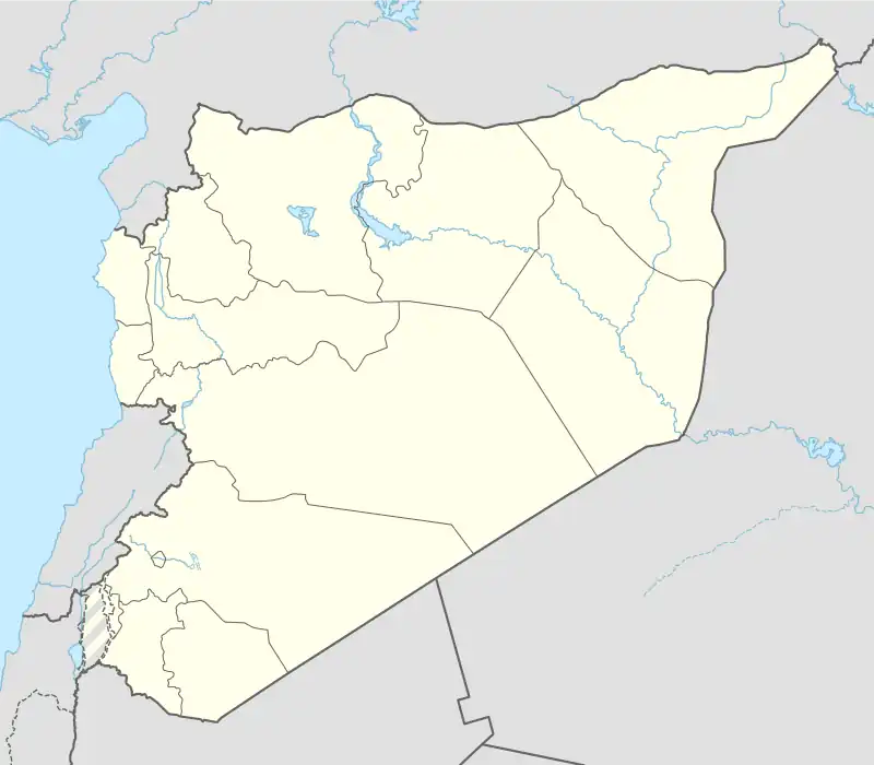
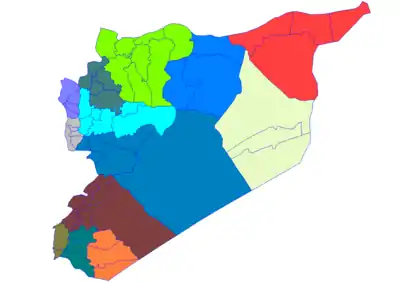
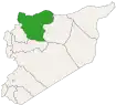
| Governorate | Aleppo |
| District | Dayr Hafir |
| Subdistrict | Rasm al-Harmal al-Imam |
| Population (2004 census)[1] | |
| • Total | 5,105 |
| Time zone | UTC+2 (EET) |
| • Summer (DST) | UTC+3 (EEST) |
| Area code(s) | Country code: 963, City code: 21 Town code: 664 |
Rasm al-Harmal al-Imam (Arabic: رسم الحرمل الإمام) is a town in northern Syria, administratively part of the Dayr Hafir District of the Aleppo Governorate, located 50 east of Aleppo. Nearby localities include Rasm al-Krum to the southwest, Dayr Hafir to the south and Rasm Kabar to the southeast.[1]
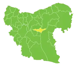
Rasm al-Harmal al-Imam is the administrative center of Nahiya Rasm al-Harmal al-Imam of the Dayr Hafir District.
Economy
The economy of the town depends on agriculture, trade, services.
Education
There are two elementary schools, one intermediate (junior-high) school, and one secondary (high) school.
Health
The town is provided with a public health clinic. Also there are some specialized private clinics and pharmacies.
References
- 1 2 General Census of Population and Housing 2004. Syria Central Bureau of Statistics (CBS). Aleppo Governorate. (in Arabic)
Capital: Aleppo | ||||||||||||||||||||
|   | |||||||||||||||||||
|
| ||||||||||||||||||||
| ||||||||||||||||||||
| ||||||||||||||||||||
| ||||||||||||||||||||
| ||||||||||||||||||||
| ||||||||||||||||||||
| ||||||||||||||||||||
| ||||||||||||||||||||
This article is issued from Wikipedia. The text is licensed under Creative Commons - Attribution - Sharealike. Additional terms may apply for the media files.