Ravarino | |
|---|---|
| Comune di Ravarino | |
Location of Ravarino | |
 Ravarino Location of Ravarino in Italy 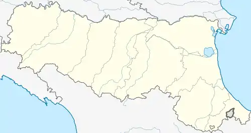 Ravarino Ravarino (Emilia-Romagna) | |
| Coordinates: 44°43′N 11°6′E / 44.717°N 11.100°E | |
| Country | Italy |
| Region | Emilia-Romagna |
| Province | Modena (MO) |
| Frazioni | Casoni, La Villa, Rami, Stuffione, San Claudio |
| Government | |
| • Mayor | Maurizia Rebecchi |
| Area | |
| • Total | 28.53 km2 (11.02 sq mi) |
| Elevation | 23 m (75 ft) |
| Population (31 July 2015)[2] | |
| • Total | 6,318 |
| • Density | 220/km2 (570/sq mi) |
| Demonym | Ravarinesi |
| Time zone | UTC+1 (CET) |
| • Summer (DST) | UTC+2 (CEST) |
| Postal code | 41017 |
| Dialing code | 059 |
| Website | Official website |
Ravarino (Modenese: Ravarèin) is a comune (municipality) in the province of Modena, in the Italian region of Emilia-Romagna, located about 30 kilometres (19 mi) northwest of Bologna and about 15 kilometres (9 mi) northeast of Modena.
Ravarino borders the following municipalities: Bomporto, Camposanto, Crevalcore, Nonantola.
References
- ↑ "Superficie di Comuni Province e Regioni italiane al 9 ottobre 2011". Italian National Institute of Statistics. Retrieved 16 March 2019.
- ↑ All demographics and other statistics: Italian statistical institute Istat.
External links
This article is issued from Wikipedia. The text is licensed under Creative Commons - Attribution - Sharealike. Additional terms may apply for the media files.