Savignano sul Panaro | |
|---|---|
| Comune di Savignano sul Panaro | |
 Coat of arms | |
Location of Savignano sul Panaro | |
 Savignano sul Panaro Location of Savignano sul Panaro in Italy 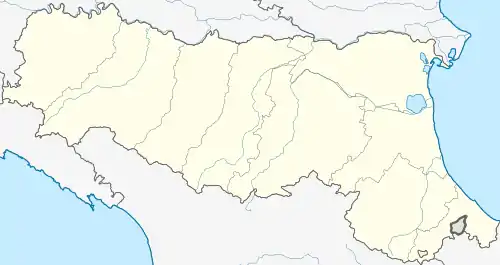 Savignano sul Panaro Savignano sul Panaro (Emilia-Romagna) | |
| Coordinates: 44°29′N 11°2′E / 44.483°N 11.033°E | |
| Country | Italy |
| Region | Emilia-Romagna |
| Province | Modena (MO) |
| Frazioni | Castello, Doccia, Mulino, Formica, Garofano, Magazzeno |
| Government | |
| • Mayor | Enrico Tagliavini |
| Area | |
| • Total | 25.55 km2 (9.86 sq mi) |
| Elevation | 202 m (663 ft) |
| Population (31 December 2016)[2] | |
| • Total | 9,172 |
| • Density | 360/km2 (930/sq mi) |
| Demonym | Savignanesi |
| Time zone | UTC+1 (CET) |
| • Summer (DST) | UTC+2 (CEST) |
| Postal code | 41056 |
| Dialing code | 059 |
| Patron saint | Assumption of Mary |
| Saint day | August 15 |
| Website | Official website |
Savignano sul Panaro (Modenese: Savgnân d'cò Pànèra; Western Bolognese: Savignàn) is a comune (municipality) in the Province of Modena in the Italian region Emilia-Romagna, located about 25 kilometres (16 mi) west of Bologna and about 20 kilometres (12 mi) southeast of Modena.
Savignano sul Panaro borders the following municipalities: Guiglia, Marano sul Panaro, San Cesario sul Panaro, Spilamberto, Valsamoggia, Vignola.
References
- ↑ "Superficie di Comuni Province e Regioni italiane al 9 ottobre 2011". Italian National Institute of Statistics. Retrieved 16 March 2019.
- ↑ All demographics and other statistics: Italian statistical institute Istat.
External links
This article is issued from Wikipedia. The text is licensed under Creative Commons - Attribution - Sharealike. Additional terms may apply for the media files.