Siegerswoude
Sigerswâld | |
|---|---|
Village | |
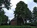
.jpg.webp) Former school | |
 Flag  Coat of arms | |
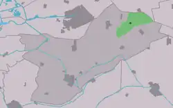 Location in Opsterland municipality | |
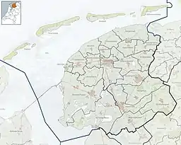 Siegerswoude Location in the Netherlands 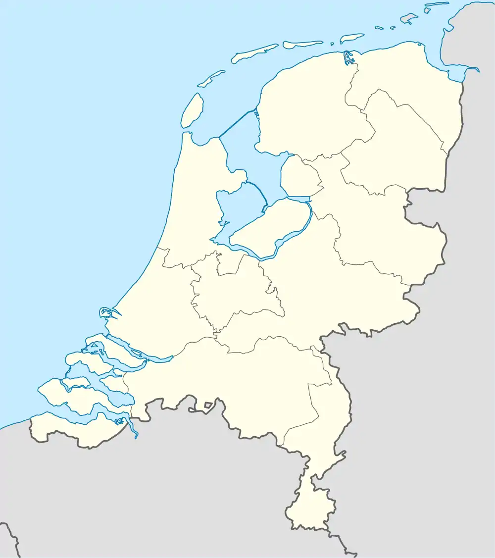 Siegerswoude Siegerswoude (Netherlands) | |
| Coordinates: 53°06′N 6°14′E / 53.100°N 6.233°E | |
| Country | |
| Province | |
| Municipality | |
| Area | |
| • Total | 14.62 km2 (5.64 sq mi) |
| Elevation | 5 m (16 ft) |
| Population (2021)[1] | |
| • Total | 835 |
| • Density | 57/km2 (150/sq mi) |
| Postal code | 9248[1] |
| Dialing code | 0512 |
Siegerswoude (West Frisian: Sigerswâld) is a village in the municipality of Opsterland in eastern Friesland, the Netherlands. It had a population of around 810 in January 2017.[3]
The village was first mentioned in 1315 as Sigerwolde, and means "the woods of Sieger (person)".[4] Siegerwoude developed as three little hamlets in a peat excavation area. The Dutch Reformed church dated from 1910, but burnt down in 1941. In 1949, it was rebuilt.[5]
Siegerwoude was home to 210 people in 1840.[5]
Gallery
 Dutch Reformed church
.jpg.webp) Former Christian school
Former Christian school.jpg.webp) Canal view
Canal view_bij_De_Wilp.jpg.webp) Welcome to Siegerswoude
Welcome to Siegerswoude
References
- 1 2 3 "Kerncijfers wijken en buurten 2021". Central Bureau of Statistics. Retrieved 2 April 2022.
- ↑ "Postcodetool for 9248KS". Actueel Hoogtebestand Nederland (in Dutch). Het Waterschapshuis. Retrieved 2 April 2022.
- ↑ Kerncijfers wijken en buurten 2017 - CBS Statline
- ↑ "Siegerswoude - (geografische naam)". Etymologiebank (in Dutch). Retrieved 2 April 2022.
- 1 2 "Siegerswoude". Plaatsengids (in Dutch). Retrieved 2 April 2022.
External links
![]() Media related to Siegerswoude at Wikimedia Commons
Media related to Siegerswoude at Wikimedia Commons
This article is issued from Wikipedia. The text is licensed under Creative Commons - Attribution - Sharealike. Additional terms may apply for the media files.