Sombreffe
| |
|---|---|
.JPG.webp) | |
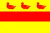 Flag  Coat of arms | |
Location of Sombreffe | |
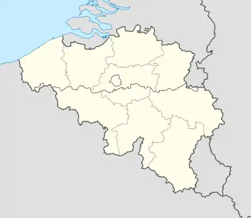 Sombreffe Location in Belgium
Location of Sombreffe in Namur Province 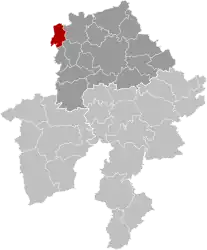 | |
| Coordinates: 50°31′53″N 4°35′49″E / 50.53145°N 4.59700°E | |
| Country | |
| Community | French Community |
| Region | Wallonia |
| Province | Namur |
| Arrondissement | Namur |
| Government | |
| • Mayor | Étienne Bertrand |
| • Governing party/ies | IC-MR |
| Area | |
| • Total | 35.89 km2 (13.86 sq mi) |
| Population (2018-01-01)[1] | |
| • Total | 8,420 |
| • Density | 230/km2 (610/sq mi) |
| Postal codes | 5140 |
| NIS code | 92114 |
| Area codes | 071 |
| Website | www.sombreffe.be |
Sombreffe (French pronunciation: [sɔ̃bʁɛf]; Walloon: Sombrefe) is a municipality of Wallonia located in the province of Namur, Belgium.
On 1 January 2014 the municipality had 8,226 inhabitants.[2] The total area is 35.78 km², giving a population density of 230 inhabitants per km².
The municipality is composed of the following districts: Boignée, Ligny, Sombreffe and Tongrinne.
.JPG.webp)
See also
References
- ↑ "Wettelijke Bevolking per gemeente op 1 januari 2018". Statbel. Retrieved 9 March 2019.
- ↑ "be.STAT home". statbel.fgov.be. Archived from the original on 2011-04-15.
External links
 Media related to Sombreffe at Wikimedia Commons
- Official website (in French)
Places adjacent to Sombreffe | ||||||||||||||||
|---|---|---|---|---|---|---|---|---|---|---|---|---|---|---|---|---|
| ||||||||||||||||
Municipalities in the province of Namur, Wallonia | ||
|---|---|---|
| Dinant | 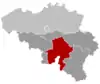 | |
| Namur | ||
| Philippeville | ||
Bold indicates cities | ||
This article is issued from Wikipedia. The text is licensed under Creative Commons - Attribution - Sharealike. Additional terms may apply for the media files.