Angervilliers | |
|---|---|
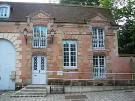 The town hall of Angervilliers | |
.svg.png.webp) Coat of arms | |
Location of Angervilliers | |
 Angervilliers 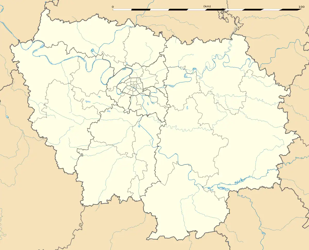 Angervilliers | |
| Coordinates: 48°35′31″N 2°03′54″E / 48.592°N 2.0649°E | |
| Country | France |
| Region | Île-de-France |
| Department | Essonne |
| Arrondissement | Palaiseau |
| Canton | Dourdan |
| Intercommunality | Pays de Limours |
| Government | |
| • Mayor (2020–2026) | Dany Boyer[1] |
| Area 1 | 9.01 km2 (3.48 sq mi) |
| Population | 1,731 |
| • Density | 190/km2 (500/sq mi) |
| Time zone | UTC+01:00 (CET) |
| • Summer (DST) | UTC+02:00 (CEST) |
| INSEE/Postal code | 91017 /91470 |
| Elevation | 77–163 m (253–535 ft) |
| 1 French Land Register data, which excludes lakes, ponds, glaciers > 1 km2 (0.386 sq mi or 247 acres) and river estuaries. | |
Angervilliers (French pronunciation: [ɑ̃ʒɛʁvilje] ⓘ) is a commune in the Essonne department in Île-de-France in northern France.
Inhabitants are known as Angervilliérois.
See also
References
- ↑ "Répertoire national des élus: les maires" (in French). data.gouv.fr, Plateforme ouverte des données publiques françaises. 13 September 2022.
- ↑ "Populations légales 2021". The National Institute of Statistics and Economic Studies. 28 December 2023.
External links
Wikimedia Commons has media related to Angervilliers.
- Base Mérimée: Search for heritage in the commune, Ministère français de la Culture. (in French)
This article is issued from Wikipedia. The text is licensed under Creative Commons - Attribution - Sharealike. Additional terms may apply for the media files.