Champcueil | |
|---|---|
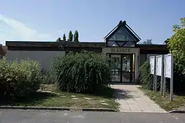 The town hall of Champcueil | |
.svg.png.webp) Coat of arms | |
Location of Champcueil | |
 Champcueil 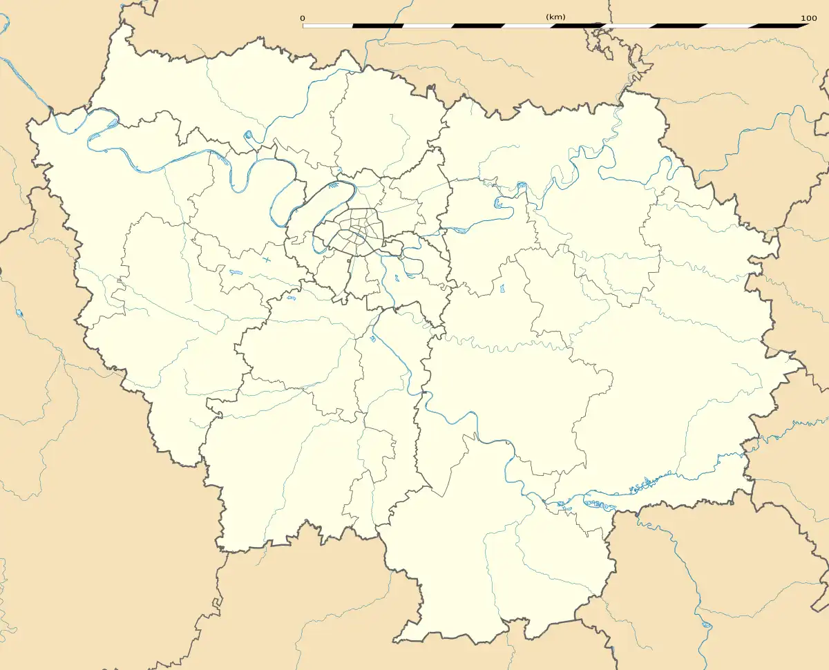 Champcueil | |
| Coordinates: 48°30′54″N 2°26′40″E / 48.515°N 2.4445°E | |
| Country | France |
| Region | Île-de-France |
| Department | Essonne |
| Arrondissement | Évry |
| Canton | Mennecy |
| Intercommunality | Val d'Essonne |
| Government | |
| • Mayor (2020–2026) | Sandrine Jacquet[1] |
| Area 1 | 16.35 km2 (6.31 sq mi) |
| Population | 2,893 |
| • Density | 180/km2 (460/sq mi) |
| Time zone | UTC+01:00 (CET) |
| • Summer (DST) | UTC+02:00 (CEST) |
| INSEE/Postal code | 91135 /91750 |
| Elevation | 77–156 m (253–512 ft) |
| 1 French Land Register data, which excludes lakes, ponds, glaciers > 1 km2 (0.386 sq mi or 247 acres) and river estuaries. | |
Champcueil (French: [ʃɑ̃kœj] ⓘ) is a commune in the Essonne department in the Île-de-France in northern France.
Population
| Year | Pop. | ±% p.a. |
|---|---|---|
| 1968 | 1,147 | — |
| 1975 | 2,205 | +9.79% |
| 1982 | 2,129 | −0.50% |
| 1990 | 2,586 | +2.46% |
| 1999 | 2,528 | −0.25% |
| 2007 | 2,753 | +1.07% |
| 2012 | 2,828 | +0.54% |
| 2017 | 2,867 | +0.27% |
| Source: INSEE[3] | ||
Inhabitants of Champcueil are known as Champcueillois in French.
See also
References
- ↑ "Répertoire national des élus: les maires" (in French). data.gouv.fr, Plateforme ouverte des données publiques françaises. 13 September 2022.
- ↑ "Populations légales 2021". The National Institute of Statistics and Economic Studies. 28 December 2023.
- ↑ Population en historique depuis 1968, INSEE
External links
Wikimedia Commons has media related to Champcueil.
- Base Mérimée: Search for heritage in the commune, Ministère français de la Culture. (in French)
- Mayors of Essonne Association (in French)
This article is issued from Wikipedia. The text is licensed under Creative Commons - Attribution - Sharealike. Additional terms may apply for the media files.