Saintry-sur-Seine | |
|---|---|
 The town hall in Saintry-sur-Seine | |
.svg.png.webp) Coat of arms | |
Location of Saintry-sur-Seine | |
 Saintry-sur-Seine 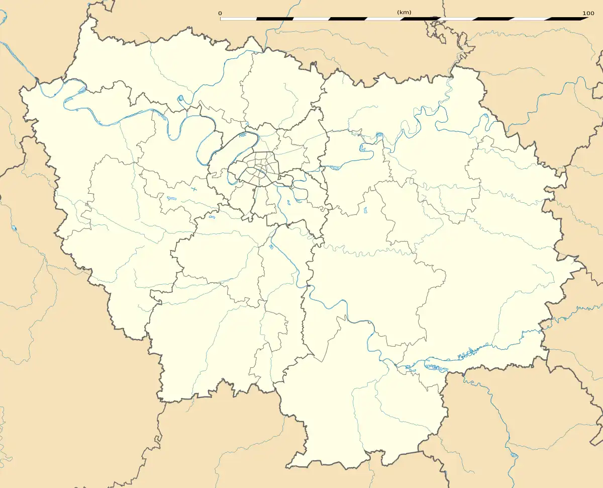 Saintry-sur-Seine | |
| Coordinates: 48°35′46″N 2°29′34″E / 48.5962°N 2.4929°E | |
| Country | France |
| Region | Île-de-France |
| Department | Essonne |
| Arrondissement | Évry |
| Canton | Épinay-sous-Sénart |
| Intercommunality | CA Grand Paris Sud Seine-Essonne-Sénart |
| Government | |
| • Mayor (2020–2026) | Patrick Rauscher[1] |
| Area 1 | 3.29 km2 (1.27 sq mi) |
| Population | 5,829 |
| • Density | 1,800/km2 (4,600/sq mi) |
| Time zone | UTC+01:00 (CET) |
| • Summer (DST) | UTC+02:00 (CEST) |
| INSEE/Postal code | 91577 /91250 |
| Elevation | 32–92 m (105–302 ft) |
| 1 French Land Register data, which excludes lakes, ponds, glaciers > 1 km2 (0.386 sq mi or 247 acres) and river estuaries. | |
Saintry-sur-Seine (French pronunciation: [sɛ̃tʁi syʁ sɛn] ⓘ, literally Saintry on Seine) is a commune in the Essonne department in Île-de-France in northern France.
Population
Inhabitants of Saintry-sur-Seine are known as Saintryens in French.
| Year | Pop. | ±% p.a. |
|---|---|---|
| 1968 | 1,909 | — |
| 1975 | 3,046 | +6.90% |
| 1982 | 3,642 | +2.59% |
| 1990 | 4,929 | +3.85% |
| 1999 | 4,998 | +0.15% |
| 2007 | 5,190 | +0.47% |
| 2012 | 5,193 | +0.01% |
| 2017 | 5,720 | +1.95% |
| Source: INSEE[3] | ||
See also
References
- ↑ "Répertoire national des élus: les maires" (in French). data.gouv.fr, Plateforme ouverte des données publiques françaises. 13 September 2022.
- ↑ "Populations légales 2021". The National Institute of Statistics and Economic Studies. 28 December 2023.
- ↑ Population en historique depuis 1968, INSEE
External links
Wikimedia Commons has media related to Saintry-sur-Seine.
- Mayors of Essonne Association (in French)
This article is issued from Wikipedia. The text is licensed under Creative Commons - Attribution - Sharealike. Additional terms may apply for the media files.