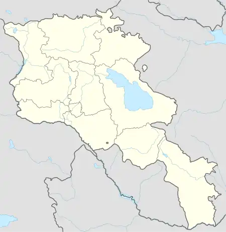
Areguni
Արեգունի | |
|---|---|
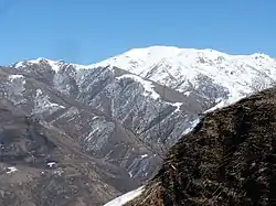 Scenery around the Areguni mountain range | |
 Areguni 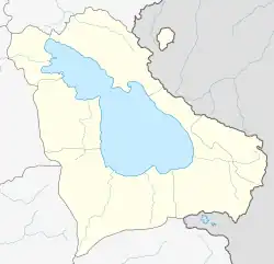 Areguni | |
| Coordinates: 40°20′17″N 45°36′32″E / 40.33806°N 45.60889°E | |
| Country | Armenia |
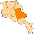
| Province | Gegharkunik |
| Municipality | Vardenis |
| Elevation | 2,014 m (6,608 ft) |
| Population | |
| • Total | 344 |
| Time zone | UTC+4 (AMT) |
| Postal code | 1606 |
| Areguni at GEOnet Names Server | |
Areguni (Armenian: Արեգունի) is a village in the Vardenis Municipality of the Gegharkunik Province of Armenia.
Etymology
The village was known as Satanakhach until 1935, and earlier as Gyuney.[2]
Gallery
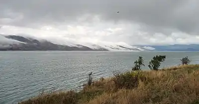 Lake Sevan and the Areguni mountain range
References
- ↑ Statistical Committee of Armenia. "The results of the 2011 Population Census of the Republic of Armenia" (PDF).
- ↑ Kiesling, Brady; Kojian, Raffi (2005). Rediscovering Armenia: Guide (2nd ed.). Yerevan: Matit Graphic Design Studio. p. 48. ISBN 99941-0-121-8.
External links
- Report of the results of the 2001 Armenian Census, Statistical Committee of Armenia
- Kiesling, Brady (June 2000). Rediscovering Armenia: An Archaeological/Touristic Gazetteer and Map Set for the Historical Monuments of Armenia (PDF). Archived (PDF) from the original on 6 November 2021.
This article is issued from Wikipedia. The text is licensed under Creative Commons - Attribution - Sharealike. Additional terms may apply for the media files.