40°10′N 45°41′E / 40.167°N 45.683°E
Lusakunk
Լուսակունք | |
|---|---|
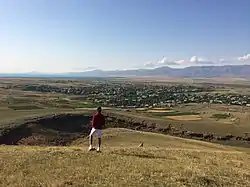 A view of Lusakunk | |
 Lusakunk 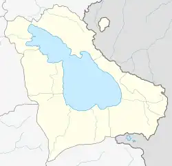 Lusakunk | |
| Coordinates: 40°10′N 45°41′E / 40.167°N 45.683°E | |
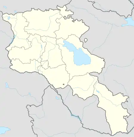
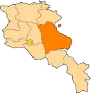
| Country | Armenia |
| Province | Gegharkunik |
| Municipality | Vardenis |
| Population | |
| • Total | 1,440 |
| Time zone | UTC+4 (AMT) |
| Lusakunk at GEOnet Names Server | |
Lusakunk (Armenian: Լուսակունք) is a village in the Vardenis Municipality of the Gegharkunik Province of Armenia.
Etymology
The village was previously known as Tuskyulu.
Gallery
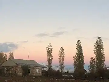 Skyline in Lusakunk
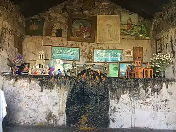 Shrine in Lusakunk
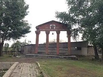 WWII monument
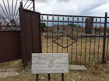 Cemetery
References
External links
Wikimedia Commons has media related to Lusakunk.
- Report of the results of the 2001 Armenian Census, Statistical Committee of Armenia
- Kiesling, Brady (June 2000). Rediscovering Armenia: An Archaeological/Touristic Gazetteer and Map Set for the Historical Monuments of Armenia (PDF). Archived (PDF) from the original on 6 November 2021.
- World Gazeteer: Armenia – World-Gazetteer.com
This article is issued from Wikipedia. The text is licensed under Creative Commons - Attribution - Sharealike. Additional terms may apply for the media files.