| Aurora Mountain | |
|---|---|
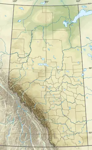 Aurora Mountain Location in Alberta  Aurora Mountain Aurora Mountain (British Columbia) | |
| Highest point | |
| Elevation | 2,797 m (9,177 ft)[1] |
| Prominence | 277 m (909 ft)[2] |
| Coordinates | 50°49′30″N 115°32′35″W / 50.82500°N 115.54306°W[1] |
| Geography | |
| Country | Canada |
| Provinces | Alberta and British Columbia |
| Parent range | Blue Range |
| Topo map | NTS 82J13 Mount Assiniboine |
| Climbing | |
| First ascent | 1916 Interprovincial Boundary Commission[2] |
Aurora Mountain is located in the Blue Range of the Canadian Rockies, which forms part of the Continental Divide and the provincial boundary between British Columbia and Alberta.[1][2] It is named after HMS Aurora, a British Royal Navy light cruiser launched in 1913 that was transferred to the Royal Canadian Navy in 1920.[3]
See also
References
- 1 2 3 "Aurora Mountain". cdnrockiesdatabases.ca. Retrieved Feb 21, 2009.
- 1 2 3 "Aurora Mountain". Bivouac.com. Retrieved Feb 21, 2009.
- ↑ Place-names of Alberta. Ottawa: Geographic Board of Canada. 1928. p. 14.
External links
This article is issued from Wikipedia. The text is licensed under Creative Commons - Attribution - Sharealike. Additional terms may apply for the media files.