Bitterfontein | |
|---|---|
 Bitterfontein  Bitterfontein | |
| Coordinates: 31°02′10″S 18°15′58″E / 31.03611°S 18.26611°E | |
| Country | South Africa |
| Province | Western Cape |
| District | West Coast |
| Municipality | Matzikama |
| Area | |
| • Total | 39.90 km2 (15.41 sq mi) |
| Elevation | 355 m (1,165 ft) |
| Population (2011)[1] | |
| • Total | 986 |
| • Density | 25/km2 (64/sq mi) |
| Racial makeup (2011) | |
| • Black African | 3.5% |
| • Coloured | 91.2% |
| • Indian/Asian | 0.4% |
| • White | 4.7% |
| • Other | 0.2% |
| First languages (2011) | |
| • Afrikaans | 97.4% |
| • Xhosa | 1.3% |
| • Other | 1.2% |
| Time zone | UTC+2 (SAST) |
| Postal code (street) | 8200 |
| PO box | 8200 |
| Area code | 027 |
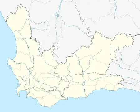
Bitterfontein is a village in the Knersvlakte, the northernmost area of the Western Cape province of South Africa, 320 kilometres (200 mi) north of Cape Town. It is the railhead of a line from Cape Town; ore from the copper mines at Okiep is transferred there from road transport to the railway. It is also located on the N7 (Cape Town–Namibia) national road; the distance from Cape Town is 386 kilometres (240 mi) by road and 465 kilometres (289 mi) by rail.[2]
Bitterfontein is located in the Matzikama Local Municipality, which is part of the West Coast District Municipality. According to the 2001 Census, it had a population of 906 in an area of 1.77 square kilometres (0.68 sq mi).[3] It is served by a police station,[4] a primary school,[5] a library,[6] and a satellite health clinic.[7]
Trivia
- The South African country singer Ruben Lennox wrote a song about Bitterfontein
References
- 1 2 3 4 "Main Place Bitterfontein". Census 2011.
- ↑ Boonzaaier, Boon (2008). Tracks Across the Veld. ISBN 978-0-620-41711-2.
- ↑ Census 2001 — Statistics for Main Place
- ↑ "Bitterfontein Police Station". Cape Gateway.
- ↑ "Bitterfontein Primary School". Western Cape Education Management System. Archived from the original on 2011-07-21.
- ↑ "Bitterfontein Library Depot". Cape Gateway. Archived from the original on 2012-07-29. Retrieved 2012-08-15.
- ↑ "Bitterfontein Municipality Satellite Clinic". Cape Gateway.
.svg.png.webp)