Jacobsbaai | |
|---|---|
 Jacobsbaai | |
 Jacobsbaai 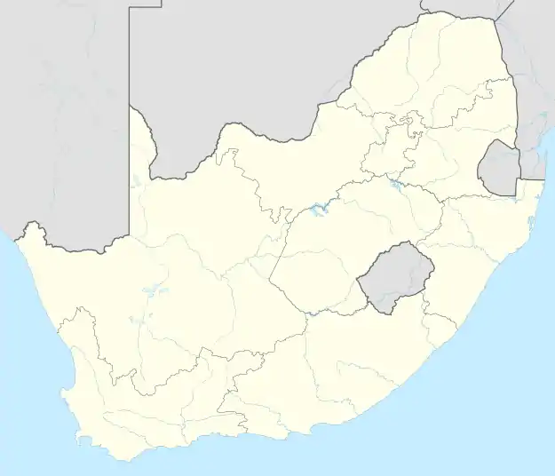 Jacobsbaai | |
| Coordinates: 32°58′0″S 17°53′25″E / 32.96667°S 17.89028°E | |
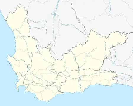
| Country | South Africa |
| Province | Western Cape |
| District | West Coast |
| Municipality | Saldanha Bay |
| Area | |
| • Total | 3.43 km2 (1.32 sq mi) |
| Population (2011)[1] | |
| • Total | 416 |
| • Density | 120/km2 (310/sq mi) |
| Racial makeup (2011) | |
| • Black African | 0.5% |
| • Coloured | 3.4% |
| • Indian/Asian | 1.0% |
| • White | 95.2% |
| First languages (2011) | |
| • Afrikaans | 87.2% |
| • English | 11.8% |
| • Other | 1.0% |
| Time zone | UTC+2 (SAST) |
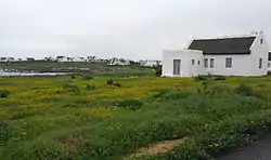
Jacobsbaai is a settlement in West Coast District Municipality in the Western Cape province of South Africa.
Jacobsbaai was founded as a small town on the farmland registered as 109 Jacobsbaai. The name is said to have come from the Frenchman Jacques Titius. He was a colonial trader in the West Coast. Tietiesbaai is also named after him, and Jacobsbaai has a street called Titius. Another explanation for the name is that the English king entrusted the piece of land to a local known as ‘Jacob', a chief of the Gonneman Hottentots.
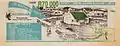 Jacobsbaai advertising effort in 1993
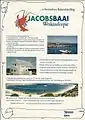 Advertisement placed in 1995
References
- 1 2 3 4 "Main Place Jacobsbaai". Census 2011.
Municipalities and communities of West Coast District Municipality, Western Cape | ||
|---|---|---|
District seat: Moorreesburg | ||
| Matzikama | .svg.png.webp) West Coast District within South Africa | |
| Cederberg | ||
| Bergrivier | ||
| Saldanha Bay | ||
| Swartland | ||
This article is issued from Wikipedia. The text is licensed under Creative Commons - Attribution - Sharealike. Additional terms may apply for the media files.