Kalbaskraal | |
|---|---|
 Kalbaskraal 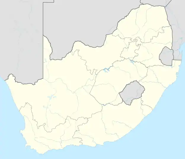 Kalbaskraal | |
| Coordinates: 33°34′S 18°39′E / 33.567°S 18.650°E | |
| Country | South Africa |
| Province | Western Cape |
| District | West Coast |
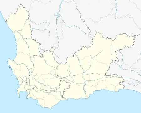
| Municipality | Swartland |
| Government | |
| • Councillor | Elias Lewis |
| Area | |
| • Total | 1.38 km2 (0.53 sq mi) |
| Population (2011)[1] | |
| • Total | 2,411 |
| • Density | 1,700/km2 (4,500/sq mi) |
| Racial makeup (2011) | |
| • Black African | 23.4% |
| • Coloured | 65.4% |
| • Indian/Asian | 0.2% |
| • White | 9.5% |
| • Other | 1.4% |
| First languages (2011) | |
| • Afrikaans | 75.6% |
| • Xhosa | 12.7% |
| • English | 7.8% |
| • Sotho | 1.7% |
| • Other | 2.1% |
| Time zone | UTC+2 (SAST) |
| Postal code (street) | 7302 |
| PO box | 7302 |
Kalbaskraal is a settlement in the Swartland Local Municipality in the Western Cape province of South Africa. It was established in 1898 at the site of a railway junction for the narrow gauge railway to Hopefield and eventually Saldanha.[2]
References
- 1 2 3 4 "Main Place Kalbaskraal". Census 2011.
- ↑ "Malmesbury History Swartland West Western Cape Winelands South Africa". Archived from the original on 9 August 2013.
Municipalities and communities of West Coast District Municipality, Western Cape | ||
|---|---|---|
District seat: Moorreesburg | ||
| Matzikama | .svg.png.webp) West Coast District within South Africa | |
| Cederberg | ||
| Bergrivier | ||
| Saldanha Bay | ||
| Swartland | ||
This article is issued from Wikipedia. The text is licensed under Creative Commons - Attribution - Sharealike. Additional terms may apply for the media files.