| Bloomfield Hatch | |
|---|---|
| Hamlet | |
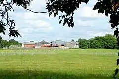 Bloomfield Hatch Farm | |
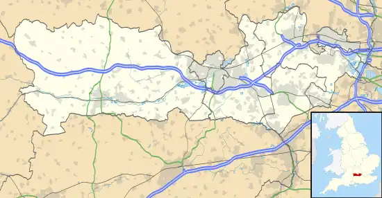 Bloomfield Hatch Location within Berkshire | |
| OS grid reference | SU686657 |
| Unitary authority | |
| Ceremonial county | |
| Region | |
| Country | England |
| Sovereign state | United Kingdom |
| Post town | READING |
| Postcode district | RG7 |
| Dialling code | 0118 |
| Police | Thames Valley |
| Fire | Royal Berkshire |
| Ambulance | South Central |
| UK Parliament | |
Bloomfield Hatch is a hamlet in Berkshire, England, and part of the civil parish of Wokefield .[1][2] The settlement lies near the villages of Stratfield Mortimer and Beech Hill, and is located approximately 5 miles (8.0 km) south-east of Reading. It is located immediately to the East of Wokefield Park. Bloomfield Hatch Farm lies in the centre of the hamlet.
References
- ↑ Ordnance Survey: Landranger map sheet 175 Reading & Windsor (Henley-on-Thames & Bracknell) (Map). Ordnance Survey. 2012. ISBN 9780319232149.
- ↑ "Ordnance Survey: 1:50,000 Scale Gazetteer" (csv (download)). www.ordnancesurvey.co.uk. Ordnance Survey. 1 January 2016. Retrieved 30 January 2016.
External links
![]() Media related to Bloomfield Hatch at Wikimedia Commons
Media related to Bloomfield Hatch at Wikimedia Commons
This article is issued from Wikipedia. The text is licensed under Creative Commons - Attribution - Sharealike. Additional terms may apply for the media files.