| Enborne Row | |
|---|---|
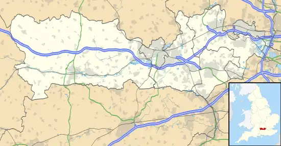 Enborne Row Location within Berkshire | |
| OS grid reference | SU439646 |
| Unitary authority | |
| Ceremonial county | |
| Region | |
| Country | England |
| Sovereign state | United Kingdom |
| Post town | NEWBURY |
| Postcode district | RG20 |
| Dialling code | 01635 |
| Police | Thames Valley |
| Fire | Royal Berkshire |
| Ambulance | South Central |
| UK Parliament | |
Enborne Row is a hamlet in Berkshire, England,[1][2] located on the county's border with Hampshire. The hamlet is within the civil parish of Enborne. The settlement lies next to the A34 road, and is located approximately 3 miles (4.8 km) south-west of Newbury. The name Enborne comes from Old English and means duck stream.[3]
References
- ↑ Ordnance Survey: Landranger map sheet 174 Newbury & Wantage (Hungerford & Didcot) (Map). Ordnance Survey. 2014. ISBN 9780319228739.
- ↑ "Ordnance Survey: 1:50,000 Scale Gazetteer" (csv (download)). www.ordnancesurvey.co.uk. Ordnance Survey. 1 January 2016. Retrieved 18 February 2016.
- ↑ Mills, A.D. (2011) [first published 1991]. A Dictionary of British Place Names (First edition revised 2011 ed.). Oxford: Oxford University Press. p. 176. ISBN 9780199609086.
External links
![]() Media related to Enborne Row at Wikimedia Commons
Media related to Enborne Row at Wikimedia Commons
This article is issued from Wikipedia. The text is licensed under Creative Commons - Attribution - Sharealike. Additional terms may apply for the media files.