| Honey Bottom | |
|---|---|
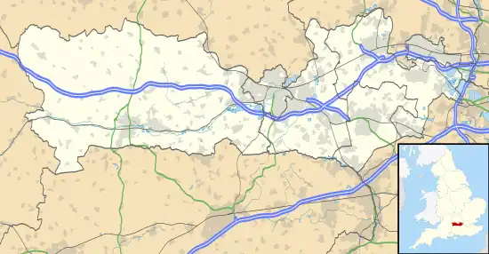 Honey Bottom Location within Berkshire | |
| OS grid reference | SU453704 |
| Metropolitan borough | |
| Metropolitan county | |
| Region | |
| Country | England |
| Sovereign state | United Kingdom |
| Post town | NEWBURY |
| Postcode district | RG14 |
| Dialling code | 01635 |
| Police | Thames Valley |
| Fire | Royal Berkshire |
| Ambulance | South Central |
| UK Parliament | |
Honey Bottom (also written as Honeybottom) is a hamlet in the civil parish of Shaw-cum-Donnington in the English county of Berkshire.
The settlement lies approximately 2.5 miles (4.0 km) north-west of the town of Newbury, between the villages of Bagnor and Winterbourne. It covers the very north-eastern portion of the Donnington half of the parish of Shaw-cum-Donnington, on the southern edge of Snelsmore Common.[1]
References
- ↑ Microsoft Bing Maps: Ordnance Survey. Retrieved 07 April 2021.
This article is issued from Wikipedia. The text is licensed under Creative Commons - Attribution - Sharealike. Additional terms may apply for the media files.