 Bray Island, Nunavut. | |
 Bray Island 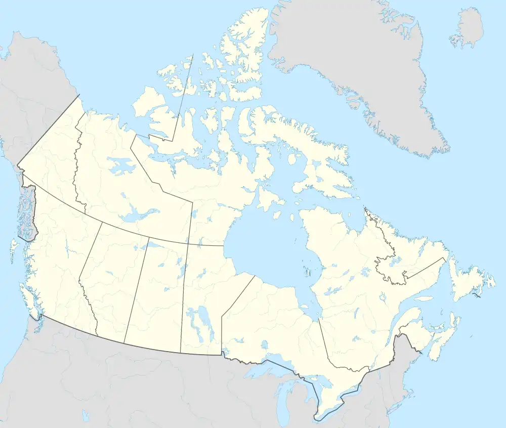 Bray Island | |
| Geography | |
|---|---|
| Location | Foxe Basin |
| Coordinates | 69°16′N 77°00′W / 69.267°N 77.000°W / 69.267; -77.000 (Bray Island)[1] |
| Archipelago | Arctic Archipelago |
| Area | 689 km2 (266 sq mi) |
| Administration | |
Canada | |
| Territory | Nunavut |
| Region | Qikiqtaaluk |
| Demographics | |
| Population | Uninhabited |
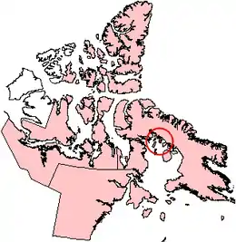
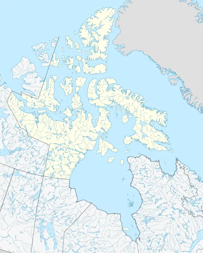
Bray Island is one of the Canadian Arctic islands located in Nunavut, Canada along the southern coast of Baffin Island. It is located in Foxe Basin, at 69°16′N 77°00′W / 69.267°N 77.000°W / 69.267; -77.000 (Bray Island)[1], and has an area of 689 km2 (266 sq mi).[2]
Bray Island was the home of FOX-A, a Distant Early Warning Line and now a North Warning System site. However, Bray Island has no permanent residents.
References
- 1 2 "Bray Island". Geographical Names Data Base. Natural Resources Canada.
- ↑ "The Atlas of Canada - Sea Islands". Natural Resources Canada. Archived from the original on 2010-07-02. Retrieved 2011-05-05.
Subdivisions of Nunavut | |||||
|---|---|---|---|---|---|
| Regions | |||||
| Electoral districts |
| ||||
| Communities | |||||
| Weather stations and Canadian Armed Forces bases | |||||
| Mine sites |
| ||||
| DEW line and NWS sites |
| ||||
| Former | |||||
| Hudson's Bay Company trading posts |
| ||||
This article is issued from Wikipedia. The text is licensed under Creative Commons - Attribution - Sharealike. Additional terms may apply for the media files.