Native name: Nukappiannguaq | |
|---|---|
 Nookap Island  Nookap Island | |
| Geography | |
| Location | Northern Canada |
| Coordinates | 75°35′N 087°37′W / 75.583°N 87.617°W / 75.583; -87.617 (Nookap Island) |
| Archipelago | Queen Elizabeth Islands Arctic Archipelago |
| Administration | |
Canada | |
| Territory | Nunavut |
| Region | Qikiqtaaluk Region |
| Demographics | |
| Population | Uninhabited |
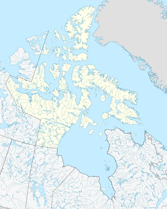
Nookap Island is a small, irregularly shaped island located in Jones Sound,[1] southeast of Skruis Point, Devon Island, in the territory of Nunavut. It is a member of the Queen Elizabeth Islands and the Arctic Archipelago. Nookap Island is named after Nookapingwa, Inuk guide father of Arnakitsoq Simigaq.[2]
References
- ↑ "Single Station Retrieval". gc.ca. Retrieved 2008-06-26.
- ↑ "Nookapingwa (1893-1956)". ucalgary.ca. Retrieved 2008-06-26.
External links
- Nookap Island in the Atlas of Canada - Toporama; Natural Resources Canada
Arctic Cordillera of Canada | |
|---|---|
| Ranges |
|
| Mountains | |
| Passes | |
| Glaciers | |
| Regions | |
| Communities | |
| Parks | |
Islands of the Qikiqtaaluk Region | |||||||||
|---|---|---|---|---|---|---|---|---|---|
| |||||||||
| Belcher Islands | |||||||||
| Islands of Cumberland Sound |
| ||||||||
| Islands of Davis Strait | |||||||||
| Islands of Foxe Basin | |||||||||
| Islands of Frobisher Bay |
| ||||||||
| Islands of the Gulf of Boothia | |||||||||
| Islands of Hudson Bay | |||||||||
| Islands of Hudson Strait |
| ||||||||
| Islands of James Bay | |||||||||
| Islands of the Labrador Sea | |||||||||
| Queen Elizabeth Islands |
| ||||||||
See also Islands of the Kitikmeot Region, Islands of the Kivalliq Region. | |||||||||
This article is issued from Wikipedia. The text is licensed under Creative Commons - Attribution - Sharealike. Additional terms may apply for the media files.