 Findlay Group  Findlay Group | |
| Geography | |
|---|---|
| Location | Arctic Ocean |
| Coordinates | 77°24′N 104°46′W / 77.400°N 104.767°W |
| Archipelago | Queen Elizabeth Islands Arctic Archipelago |
| Total islands | 5 |
| Major islands | Lougheed Island |
| Area | 1,409 km2 (544 sq mi) |
| Coastline | 278 km (172.7 mi) |
| Administration | |
Canada | |
| Nunavut | Nunavut |
| Region | Qikiqtaaluk |
| Demographics | |
| Population | Uninhabited |
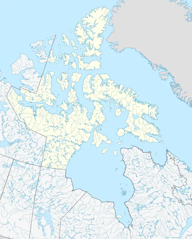
The Findlay Group is a group of islands in the Arctic Archipelago in Qikiqtaaluk Region, Nunavut. This Arctic Ocean group consists of Lougheed Island,A Stupart Island,B Edmund Walker Island,C Grosvenor IslandD and Patterson Island.E
Mapping
- A.^ Lougheed Island, 77°24′N 105°15′W / 77.400°N 105.250°W
- B.^ Stupart Island, 77°08′N 104°25′W / 77.133°N 104.417°W
- C.^ Edmund Walker Island, 77°07′N 104°10′W / 77.117°N 104.167°W
- D.^ Grosvenor Island, 77°05′N 103°52′W / 77.083°N 103.867°W
- E.^ Patterson Island, 77°03′N 103°41′W / 77.050°N 103.683°W
External links
- Findlay Group in the Atlas of Canada - Toporama; Natural Resources Canada
This article is issued from Wikipedia. The text is licensed under Creative Commons - Attribution - Sharealike. Additional terms may apply for the media files.