Cergnago | |
|---|---|
| Comune di Cergnago | |
Location of Cergnago | |
 Cergnago Location of Cergnago in Italy 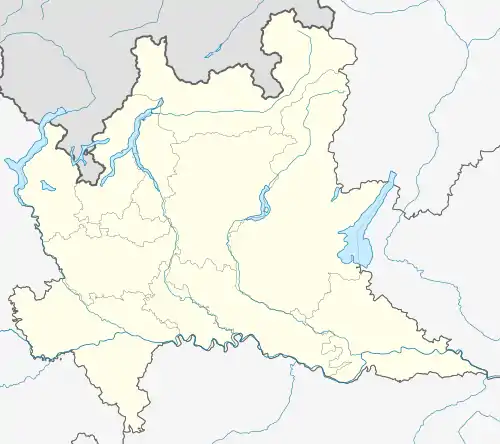 Cergnago Cergnago (Lombardy) | |
| Coordinates: 45°12′N 8°46′E / 45.200°N 8.767°E | |
| Country | Italy |
| Region | Lombardy |
| Province | Pavia (PV) |
| Frazioni | Abbazia Erbamara |
| Government | |
| • Mayor | Marco Bagnoli |
| Area | |
| • Total | 13.6 km2 (5.3 sq mi) |
| Elevation | 100 m (300 ft) |
| Population (Dec. 2004)[2] | |
| • Total | 769 |
| • Density | 57/km2 (150/sq mi) |
| Demonym | Cergnaghesi (Lombard: sargnaghin) |
| Time zone | UTC+1 (CET) |
| • Summer (DST) | UTC+2 (CEST) |
| Postal code | 27020 |
| Dialing code | 0384 |
| Patron saint | St. Helena |
| Saint day | August 18 |
Cergnago is a comune (municipality) in the Province of Pavia in the Italian region Lombardy, located about 45 km southwest of Milan and about 30 km west of Pavia. As of 1 January 2018, it had a population of 719 and an area of 13.6 km².[3]
Cergnago borders the following municipalities: Mortara, Olevano di Lomellina, San Giorgio di Lomellina, Tromello, Velezzo Lomellina.
Demographic evolution

References
- ↑ "Superficie di Comuni Province e Regioni italiane al 9 ottobre 2011". Italian National Institute of Statistics. Retrieved 16 March 2019.
- ↑ "Popolazione Residente al 1° Gennaio 2018". Italian National Institute of Statistics. Retrieved 16 March 2019.
- ↑ All demographics and other statistics: Italian statistical institute Istat.
This article is issued from Wikipedia. The text is licensed under Creative Commons - Attribution - Sharealike. Additional terms may apply for the media files.