Pieve del Cairo | |
|---|---|
| Comune di Pieve del Cairo | |
 | |
Location of Pieve del Cairo | |
 Pieve del Cairo Location of Pieve del Cairo in Italy 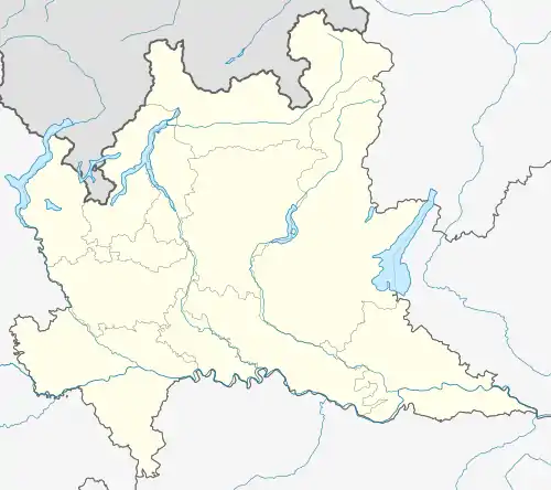 Pieve del Cairo Pieve del Cairo (Lombardy) | |
| Coordinates: 45°2′N 8°48′E / 45.033°N 8.800°E | |
| Country | Italy |
| Region | Lombardy |
| Province | Province of Pavia (PV) |
| Area | |
| • Total | 25.5 km2 (9.8 sq mi) |
| Elevation | 80 m (260 ft) |
| Population (Dec. 2004)[2] | |
| • Total | 2,179 |
| • Density | 85/km2 (220/sq mi) |
| Demonym | Pievani |
| Time zone | UTC+1 (CET) |
| • Summer (DST) | UTC+2 (CEST) |
| Postal code | 27037 |
| Dialing code | 0384 |
Pieve del Cairo is a comune (municipality) in the Province of Pavia in the Italian region of Lombardy, located about 60 km southwest of Milan and about 30 km southwest of Pavia. As of 31 December 2004, it had a population of 2,179 and an area of 25.5 km2.[3]
Pieve del Cairo borders the municipalities of Ferrera Erbognone, Galliavola, Gambarana, Isola Sant'Antonio, Mede, Mezzana Bigli, and Villa Biscossi.
Demographic evolution

Images
- Images of Pieve del Cairo
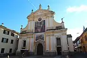 Church Beata Vergine della Consolazione
 Church San Giovanni Battista
 Castle Castello Beccaria
 Arco Trionfale
 Chiesa del Cairo (Cairo Lomellino)
References
- ↑ "Superficie di Comuni Province e Regioni italiane al 9 ottobre 2011". Italian National Institute of Statistics. Retrieved 16 March 2019.
- ↑ "Popolazione Residente al 1° Gennaio 2018". Italian National Institute of Statistics. Retrieved 16 March 2019.
- ↑ All demographics and other statistics: Italian statistical institute Istat.
This article is issued from Wikipedia. The text is licensed under Creative Commons - Attribution - Sharealike. Additional terms may apply for the media files.