| Chimney Peak | |
|---|---|
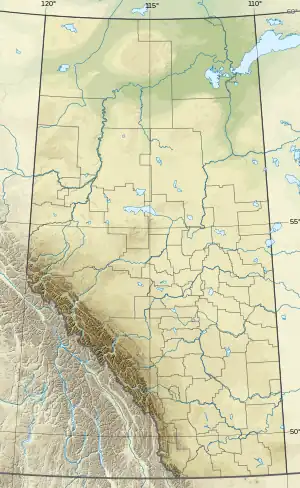 Chimney Peak Location in Alberta and British Columbia  Chimney Peak Chimney Peak (British Columbia) | |
| Highest point | |
| Elevation | 3,002 m (9,849 ft)[1][2] |
| Prominence | 137 m (449 ft)[3] |
| Parent peak | Mount Fay (3235 m) |
| Listing | |
| Coordinates | 51°15′52″N 116°09′19″W / 51.26444°N 116.15528°W[4] |
| Geography | |
| Country | Canada |
| Provinces | Alberta and British Columbia |
| Protected areas | |
| Parent range | Bow Range |
| Topo map | NTS 82N8 Lake Louise[5] |
| Climbing | |
| First ascent | 1910 E.O. Wheeler, T.G. Longstaff |
Chimney Peak is located at the northeastern end of Kootenay National Park just south of Quadra Mountain and straddles the Continental Divide marking the Alberta-British Columbia border.[4] It was named in 1910 by T.G. Longstaff and Captain E.O. Wheeler who made its first ascent through a chimney.[4]
See also
References
- ↑ "Chimney Peak". cdnrockiesdatabases.ca. Retrieved 2019-08-11.
- ↑ "Topographic map of Chimney Peak". opentopomap.org. Retrieved 2022-03-28.
- ↑ "Chimney Peak". Bivouac.com. Retrieved 2010-02-13.
- 1 2 3 "Chimney Peak". BC Geographical Names. Retrieved 2014-07-12.
- ↑ "Chimney Peak (Alberta)". Geographical Names Data Base. Natural Resources Canada. Retrieved 2022-03-28.
This article is issued from Wikipedia. The text is licensed under Creative Commons - Attribution - Sharealike. Additional terms may apply for the media files.