Horní Dubenky | |
|---|---|
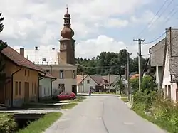 Main street with the municipal office | |
 Flag  Coat of arms | |
 Horní Dubenky Location in the Czech Republic | |
| Coordinates: 49°15′35″N 15°19′1″E / 49.25972°N 15.31694°E | |
| Country | |
| Region | Vysočina |
| District | Jihlava |
| First mentioned | 1385 |
| Area | |
| • Total | 9.97 km2 (3.85 sq mi) |
| Elevation | 669 m (2,195 ft) |
| Population (2023-01-01)[1] | |
| • Total | 576 |
| • Density | 58/km2 (150/sq mi) |
| Time zone | UTC+1 (CET) |
| • Summer (DST) | UTC+2 (CEST) |
| Postal code | 588 52 |
| Website | www |
Horní Dubenky (Czech pronunciation: [ˈɦorɲiː ˈdubɛŋkɪ]) is a municipality and village in Jihlava District in the Vysočina Region of the Czech Republic. It has about 600 inhabitants.
Horní Dubenky lies approximately 25 kilometres (16 mi) south-west of Jihlava and 113 km (70 mi) south-east of Prague.
References
Wikimedia Commons has media related to Horní Dubenky.
This article is issued from Wikipedia. The text is licensed under Creative Commons - Attribution - Sharealike. Additional terms may apply for the media files.