Rantířov | |
|---|---|
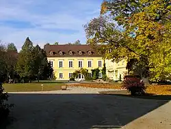 Rantířov Castle | |
 Flag  Coat of arms | |
 Rantířov Location in the Czech Republic | |
| Coordinates: 49°24′30″N 15°30′55″E / 49.40833°N 15.51528°E | |
| Country | |
| Region | Vysočina |
| District | Jihlava |
| First mentioned | 1359 |
| Area | |
| • Total | 2.74 km2 (1.06 sq mi) |
| Elevation | 494 m (1,621 ft) |
| Population (2023-01-01)[1] | |
| • Total | 456 |
| • Density | 170/km2 (430/sq mi) |
| Time zone | UTC+1 (CET) |
| • Summer (DST) | UTC+2 (CEST) |
| Postal code | 588 41 |
| Website | www |
Rantířov (Czech pronunciation: [ˈraɲciːr̝of]; German: Fussdorf) is a municipality and village in Jihlava District in the Vysočina Region of the Czech Republic. It has about 500 inhabitants.
Rantířov lies on the Jihlava River, approximately 6 kilometres (4 mi) west of Jihlava and 110 km (68 mi) south-east of Prague.
References
Wikimedia Commons has media related to Rantířov.
This article is issued from Wikipedia. The text is licensed under Creative Commons - Attribution - Sharealike. Additional terms may apply for the media files.