Jerome, Ohio | |
|---|---|
_-_exterior_1.jpg.webp) Jerome United Methodist Church is a historical site in Ohio | |
 Jerome, Ohio Location of Jerome, Ohio | |
| Coordinates: 40°09′59″N 83°10′33″W / 40.16639°N 83.17583°W | |
| Country | United States |
| State | Ohio |
| Counties | Union |
| Elevation | 981 ft (299 m) |
| Time zone | UTC-5 (Eastern (EST)) |
| • Summer (DST) | UTC-4 (EDT) |
| ZIP code | 43064 |
| Area code | 614 |
| GNIS feature ID | 1064909[1] |
Jerome is an unincorporated community in Jerome Township, Union County, Ohio, United States. It is located at 40°09′59″N 83°10′33″W / 40.16639°N 83.17583°W,[2] at the intersection of Jerome Road (Union County Road 11) and Scioto Road (Union County Road 13), about 2 miles east of New California.[3]
A former variant name of Jerome was Frankfort.[4] Frankfort was laid out and platted in 1846.[5] A post office called Jerome was established on April 17, 1848, but was discontinued on December 15, 1905. The mail service is now sent through the Plain City branch.[6]
References
- 1 2 "US Board on Geographic Names". United States Geological Survey. October 25, 2007. Retrieved January 31, 2008.
- ↑ U.S. Geological Survey Geographic Names Information System: Jerome, Ohio
- ↑ Rand McNally. The Road Atlas '06. Chicago: Rand McNally, 2006, 78.
- ↑ U.S. Geological Survey Geographic Names Information System: Jerome, Ohio
- ↑ Durant, Pliny A. (1883). The History of Union County, Ohio, containing a history of the county; its townships, towns ... Chicago: Beers, W. H., & co. p. 277.
- ↑ U.S. Geological Survey Geographic Names Information System: Jerome Post Office
Municipalities and communities of Union County, Ohio, United States | ||
|---|---|---|
| Cities | 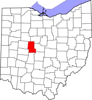 Map of Ohio highlighting Union County | |
| Villages | ||
| Townships | ||
| CDPs | ||
| Unincorporated communities | ||
| Ghost town | ||
| Footnotes | ‡This populated place also has portions in an adjacent county or counties | |
This article is issued from Wikipedia. The text is licensed under Creative Commons - Attribution - Sharealike. Additional terms may apply for the media files.