Woodland, Ohio | |
|---|---|
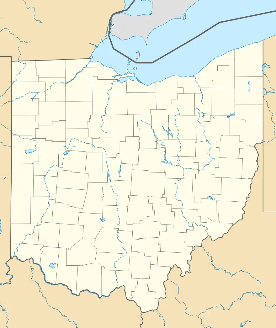 Woodland, Ohio Location of Woodland, Ohio | |
| Coordinates: 40°28′44″N 83°15′27″W / 40.47889°N 83.25750°W | |
| Country | United States |
| State | Ohio |
| Counties | Union |
| Elevation | 945 ft (288 m) |
| Time zone | UTC-5 (Eastern (EST)) |
| • Summer (DST) | UTC-4 (EDT) |
| ZIP code | 43344 |
| Area code | 740 |
| GNIS feature ID | 1063100[1] |
Woodland is an unincorporated community in Jackson Township, Union County, Ohio, United States. It is located at 40°28′44″N 83°15′27″W / 40.47889°N 83.25750°W,[2] at the intersection of Woodland Road (Union County Highway 315) and Fox Road (Union County Highway 316), about five miles northeast of Richwood.[3]
History
Woodland had its start in the 1860s when a store and planing mill were built there.[4] A post office was established at Woodland in 1869, and remained in operation until 1907.[5]
References
- 1 2 "US Board on Geographic Names". United States Geological Survey. October 25, 2007. Retrieved January 31, 2008.
- ↑ U.S. Geological Survey Geographic Names Information System: Woodland, Ohio
- ↑ Rand McNally. The Road Atlas '06. Chicago: Rand McNally, 2006, 78.
- ↑ Durant, Pliny A. (1883). The History of Union County, Ohio, containing a history of the county; its townships, towns ... Chicago: Beers, W. H., & co. p. 501.
- ↑ "Union County". Jim Forte Postal History. Retrieved December 26, 2015.
Municipalities and communities of Union County, Ohio, United States | ||
|---|---|---|
| Cities | 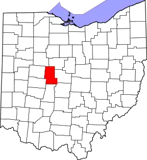 Map of Ohio highlighting Union County | |
| Villages | ||
| Townships | ||
| CDPs | ||
| Unincorporated communities | ||
| Ghost town | ||
| Footnotes | ‡This populated place also has portions in an adjacent county or counties | |
This article is issued from Wikipedia. The text is licensed under Creative Commons - Attribution - Sharealike. Additional terms may apply for the media files.