Lunda, Ohio | |
|---|---|
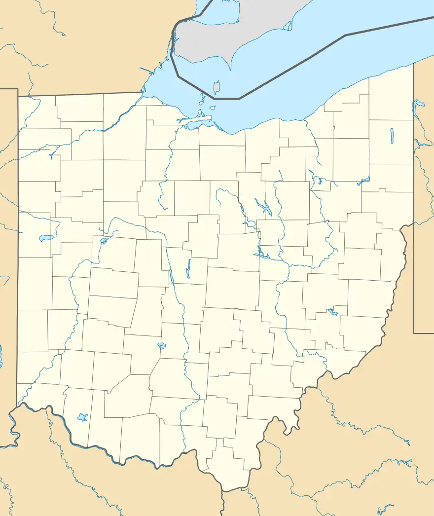 Lunda, Ohio Location of Lunda, Ohio | |
| Coordinates: 40°21′53″N 83°30′42″W / 40.36472°N 83.51167°W | |
| Country | United States |
| State | Ohio |
| Counties | Union |
| Elevation | 1,096 ft (334 m) |
| Time zone | UTC-5 (Eastern (EST)) |
| • Summer (DST) | UTC-4 (EDT) |
| ZIP code | 43358 |
| Area code(s) | 937, 326 |
| GNIS feature ID | 1062863[1] |
Lunda is an unincorporated community in Liberty Township, Union County, Ohio, United States. It is located at 40°21′53″N 83°30′42″W / 40.36472°N 83.51167°W,[2] at the intersection of Lunda Road (Union County Highway 252) and Perkins Road (Union County Highway 248), about three miles southeast of West Mansfield.[3]
The Lunda Post office was established on August 18, 1896, but was discontinued on February 14, 1906. The mail service is now sent through the West Mansfield branch.[4]
References
- 1 2 "US Board on Geographic Names". United States Geological Survey. October 25, 2007. Retrieved January 31, 2008.
- ↑ U.S. Geological Survey Geographic Names Information System: Lunda, Ohio
- ↑ Rand McNally. The Road Atlas '06. Chicago: Rand McNally, 2006, 78.
- ↑ U.S. Geological Survey Geographic Names Information System: Lunda Post Office
Municipalities and communities of Union County, Ohio, United States | ||
|---|---|---|
| Cities | 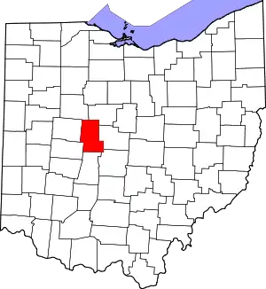 Map of Ohio highlighting Union County | |
| Villages | ||
| Townships | ||
| CDPs | ||
| Unincorporated communities | ||
| Ghost town | ||
| Footnotes | ‡This populated place also has portions in an adjacent county or counties | |
This article is issued from Wikipedia. The text is licensed under Creative Commons - Attribution - Sharealike. Additional terms may apply for the media files.