| Lilliput Mountain | |
|---|---|
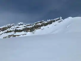 Lilluput Mountain, from the BC side | |
| Highest point | |
| Elevation | 2,925 m (9,596 ft)[1] |
| Prominence | 125 m (410 ft) |
| Coordinates | 51°33′06″N 116°24′42″W / 51.55167°N 116.41167°W |
| Geography | |
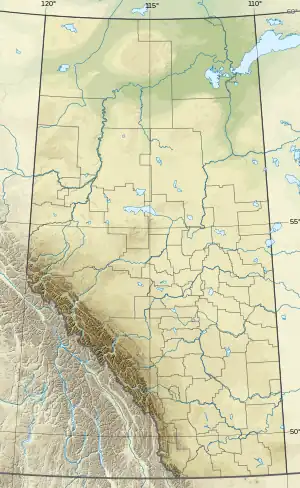 Lilliput Mountain Location in Alberta and British Columbia | |
| Location | Alberta British Columbia |
| Parent range | Park Ranges |
| Topo map | NTS 82N9 Hector Lake |
| Climbing | |
| First ascent | 1940 A. Cox, H.F. Ulrichs |
Lilliput Mountain is located on the border of Alberta and British Columbia. It was named in 1917 by the Interprovincial Boundary Survey.[1][2]
See also
References
- 1 2 "Lilliput Mountain". cdnrockiesdatabases.ca.
- ↑ "Lilliput Mountain". Bivouac.com.
External links
This article is issued from Wikipedia. The text is licensed under Creative Commons - Attribution - Sharealike. Additional terms may apply for the media files.