Marktleugast | |
|---|---|
 Coat of arms | |
Location of Marktleugast within Kulmbach district 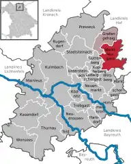 | |
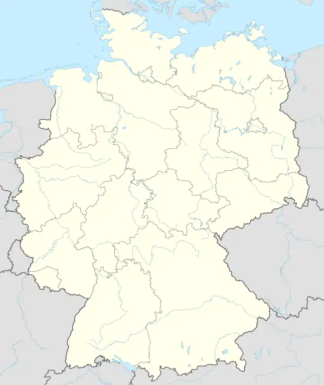  Marktleugast 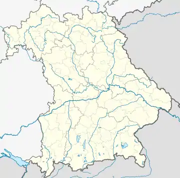 Marktleugast | |
| Coordinates: 50°10′N 11°37′E / 50.167°N 11.617°E | |
| Country | Germany |
| State | Bavaria |
| Admin. region | Oberfranken |
| District | Kulmbach |
| Municipal assoc. | Marktleugast |
| Subdivisions | 23 Ortsteile |
| Government | |
| • Mayor (2020–26) | Franz Uome[1] (CSU) |
| Area | |
| • Total | 33.89 km2 (13.09 sq mi) |
| Highest elevation | 627 m (2,057 ft) |
| Lowest elevation | 544 m (1,785 ft) |
| Population (2022-12-31)[2] | |
| • Total | 3,137 |
| • Density | 93/km2 (240/sq mi) |
| Time zone | UTC+01:00 (CET) |
| • Summer (DST) | UTC+02:00 (CEST) |
| Postal codes | 95352 |
| Dialling codes | 09255 |
| Vehicle registration | KU |
| Website | www.marktleugast.de |
Marktleugast is a municipality in the district of Kulmbach in Bavaria in Germany.
Geography
Marktleugast is located on the southeastern edge of the Frankenwald Nature Park.
City arrangement
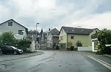
Marktleugast
Marktleugast is arranged in the following boroughs:
- Baiersbach
- Filshof
- Großrehmühle
- Hanauerhof
- Hermes
- Hinterrehberg
- Hohenberg
- Hohenreuth
- Kleinrehmühle
- Kosermühle
- Mannsflur
- Marienweiher
- Marktleugast
- Mittelrehberg
- Neuensorg
- Ösel
- Roth
- Steinbach
- Tannenwirtshaus
- Traindorf
- Vorderrehberg
- Weihermühle
- Zegastmühle
References
- ↑ Liste der ersten Bürgermeister/Oberbürgermeister in kreisangehörigen Gemeinden, Bayerisches Landesamt für Statistik, 15 July 2021.
- ↑ Genesis Online-Datenbank des Bayerischen Landesamtes für Statistik Tabelle 12411-003r Fortschreibung des Bevölkerungsstandes: Gemeinden, Stichtag (Einwohnerzahlen auf Grundlage des Zensus 2011)
Towns and municipalities in Kulmbach (district) | ||
|---|---|---|
 | ||
This article is issued from Wikipedia. The text is licensed under Creative Commons - Attribution - Sharealike. Additional terms may apply for the media files.