| Mount Beaupré | |
|---|---|
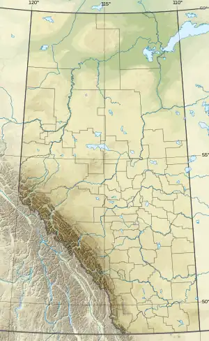 Mount Beaupré Location in Alberta | |
| Highest point | |
| Elevation | 2,778 m (9,114 ft)[1][2][3] |
| Prominence | 178 m (584 ft)[2] |
| Parent peak | Mount Mahood (2896 m)[2] |
| Listing | Mountains of Alberta |
| Coordinates | 53°02′47″N 118°36′42″W / 53.0463889°N 118.6116667°W[4] |
| Geography | |
| Country | Canada |
| Province | Alberta |
| Parent range | Victoria Cross Ranges |
| Topo map | NTS 82E2 Greenwood[4] |
Mount Beaupré is named after a member of the Sandford Fleming party of 1872.[5] It is located in the Victoria Cross Ranges in Alberta.[2]
References
- ↑ "Topographic map of Mount Beaupré". opentopomap.org. Retrieved 2023-04-06.
- 1 2 3 4 "Mount Beaupré". Bivouac.com. Retrieved 2023-04-06.
- ↑ "Mount Beaupre". cdnrockiesdatabases.ca. Retrieved 2023-04-06.
- 1 2 "Mount Beaupré". Geographical Names Data Base. Natural Resources Canada. Retrieved 2023-04-06.
- ↑ Grant, George M. (1877). Sandford Fleming's expedition through Canada in 1872. Toronto: Belford Brothers. Retrieved 2023-04-06 – via archive.org.
This article is issued from Wikipedia. The text is licensed under Creative Commons - Attribution - Sharealike. Additional terms may apply for the media files.