| Mount Low | |
|---|---|
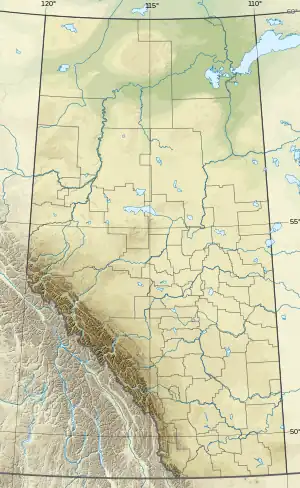 Mount Low Location in Alberta and British Columbia  Mount Low Mount Low (British Columbia) | |
| Highest point | |
| Elevation | 3,090 m (10,140 ft)[1][2] |
| Prominence | 130 m (430 ft) |
| Parent peak | Mount Barlow (3143 m)[3] |
| Listing | |
| Coordinates | 51°43′00″N 116°48′06″W / 51.71667°N 116.80167°W[4] |
| Geography | |
| Country | Canada |
| Provinces | Alberta and British Columbia |
| Protected area | Banff National Park |
| Parent range | Park Ranges |
| Topo map | NTS 82N10 Blaeberry River[4] |
| Climbing | |
| First ascent | 1930 E. Cromwell, J. Monroe Thorington, guided by Peter Kaufmann. |
Mount Low is located on the border of Alberta and British Columbia. It was named in 1920 after the Canadian geologist and explorer A. P. Low[1][3]
See also
References
- 1 2 "Mount Low". cdnrockiesdatabases.ca. Retrieved 2021-10-09.
- ↑ "Topographic map of Mount Low". opentopomap.org. Retrieved 2021-10-09.
- 1 2 "Mount Low". Bivouac.com. Retrieved 2021-10-09.
- 1 2 "Mount Low (Alberta)". Geographical Names Data Base. Natural Resources Canada. Retrieved 2021-10-09.
External links
This article is issued from Wikipedia. The text is licensed under Creative Commons - Attribution - Sharealike. Additional terms may apply for the media files.