| Mount Morkill | |
|---|---|
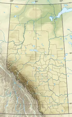 Mount Morkill Location in Alberta and British Columbia | |
| Highest point | |
| Elevation | 2,286 m (7,500 ft)[1][2] |
| Prominence | 337 m (1,106 ft)[3] |
| Listing | |
| Coordinates | 53°41′42″N 119°50′27″W / 53.69500°N 119.84083°W[4] |
| Geography | |
| Country | Canada |
| Provinces | Alberta and British Columbia |
| Parent range | Front Ranges |
| Topo map | NTS 83E12 Pauline Creek[4] |
Mount Morkill is located on the border of Alberta and British Columbia, near McBride which is a town in British Columbia, Canada. There is a subpeak to the southwest of the main peak, at an elevation of 2,185 m (7,169 ft) named The Gazetted Peak. It was named in 1965 after D.B. Morkill, a British Columbia land surveyor.[1][3]
See also
References
- 1 2 "Mount Morkill". cdnrockiesdatabases.ca. Retrieved 2023-08-05.
- ↑ "Topographic map of Mount Morkill". opentopomap.org. Retrieved 2023-08-05.
- 1 2 "Mount Morkill". Bivouac.com. Retrieved 2023-08-05.
- 1 2 "Mount Morkill". Geographical Names Data Base. Natural Resources Canada. Retrieved 2023-08-05.
External links
This article is issued from Wikipedia. The text is licensed under Creative Commons - Attribution - Sharealike. Additional terms may apply for the media files.