| Mount Smythe | |
|---|---|
 Mount Smythe Location in British Columbia 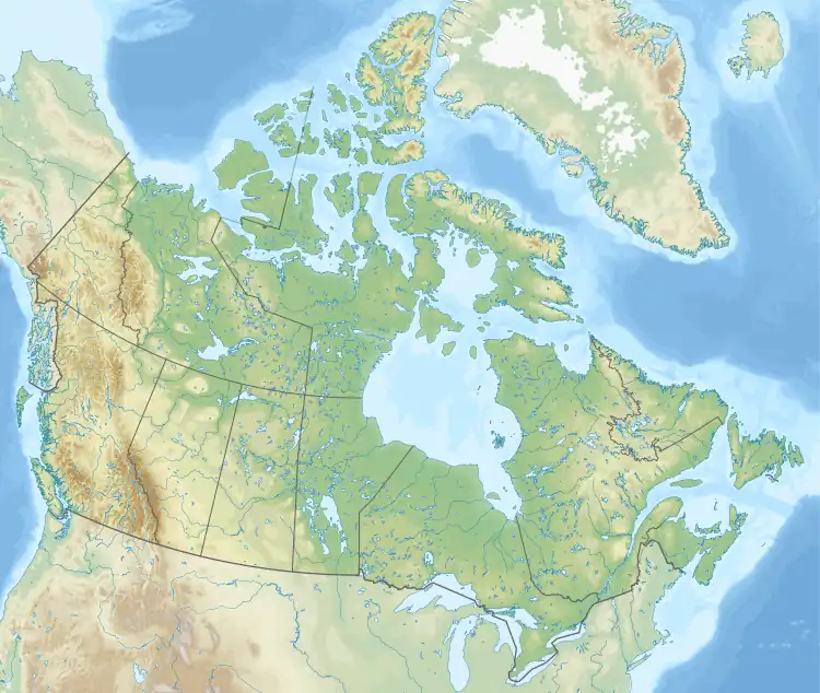 Mount Smythe Mount Smythe (Canada) | |
| Highest point | |
| Elevation | 2,759 m (9,052 ft)[1] |
| Prominence | 420 m (1,380 ft)[1] |
| Parent peak | Criccieth Mountain (2858 m)[1] |
| Listing | Mountains of British Columbia |
| Coordinates | 57°54′13″N 124°53′03″W / 57.903611°N 124.884167°W[2] |
| Geography | |
| Country | Canada |
| Province | British Columbia |
| District | Peace River Land District[3] |
| Parent range | Muskwa Ranges |
| Topo map | NTS 94F15 Mount Lloyd George[1][3] |
Mount Smythe is a mountain located between the headwaters of Tuchodi and Warneford Rivers, on the boundary between Kwadacha Wilderness Provincial Park and Northern Rocky Mountains Provincial Park, SW of Fort Nelson, British Columbia.[3]
References
- 1 2 3 4 "Mount Smythe". Bivouac.com. Retrieved 2023-09-23.
- ↑ "Mount Smythe". Geographical Names Data Base. Natural Resources Canada. Retrieved 2023-09-23.
- 1 2 3 "Mount Smythe". BC Geographical Names. Retrieved 2023-09-23.
External links
- "Topographic map of Mount Smythe". opentopomap.org. Retrieved 2023-09-23.
This article is issued from Wikipedia. The text is licensed under Creative Commons - Attribution - Sharealike. Additional terms may apply for the media files.