Namphan
Na-hpan | |
|---|---|
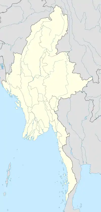 Namphan Location in Burma | |
| Coordinates: 22°36′0″N 99°5′0″E / 22.60000°N 99.08333°E | |
| Country | |
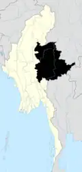
| Division | Shan State (Wa Self-Administered Division) |
| District | Matman District |
| Township | Namphan Township |
| Elevation | 3,127 ft (953 m) |
| Population | |
| • Ethnicities | Wa |
| Time zone | UTC+6.30 (MST) |
Namphan, also known as Na-hpan,[1] is the capital town of Namphan Township, Shan State. It is part of the Wa Self-Administered Division.[2]
Geography
Namphan is located in a small valley east of the Salween, about 28 km from the border with China.[3]
Further reading
References
- ↑ "Na-hpan". Mapcarta. Retrieved 20 May 2016.
- ↑ Shan State
- ↑ GoogleEarth

This article is issued from Wikipedia. The text is licensed under Creative Commons - Attribution - Sharealike. Additional terms may apply for the media files.