| Nasswald Peak | |
|---|---|
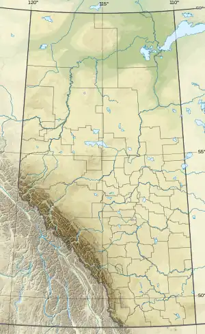 Nasswald Peak Location in Alberta and British Columbia  Nasswald Peak Nasswald Peak (British Columbia) | |
| Highest point | |
| Elevation | 3,042 m (9,980 ft)[1] |
| Prominence | 632 m (2,073 ft)[1] |
| Parent peak | Beersheba Peak (3054 m)[1] |
| Listing | |
| Coordinates | 50°59′56″N 115°39′07″W / 50.99888°N 115.65194°W[2] |
| Geography | |
| Country | Canada |
| Provinces | Alberta and British Columbia |
| Protected areas | Banff National Park and Assiniboine Provincial Park[3] |
| Parent range | Park Ranges |
| Topo map | NTS 82J13 Mount Assiniboine[2] |
| Climbing | |
| First ascent | 1913 Conrad Kain, Boundary Commission |
Nasswald Peak is located on the border of Alberta and British Columbia on the Continental Divide. It was named in 1913 by the Interprovincial Boundary Survey after Nasswald, a town in Austria.[3][1]
See also
References
- 1 2 3 4 "Nasswald Peak". Bivouac.com. Retrieved 2021-09-10.
- 1 2 "Nasswald Peak (Alberta)". Geographical Names Data Base. Natural Resources Canada. Retrieved 2021-09-10.
- 1 2 "Nasswald Peak". cdnrockiesdatabases.ca. Retrieved 2021-09-10.
External links
This article is issued from Wikipedia. The text is licensed under Creative Commons - Attribution - Sharealike. Additional terms may apply for the media files.