Peščeni Vrh | |
|---|---|
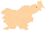
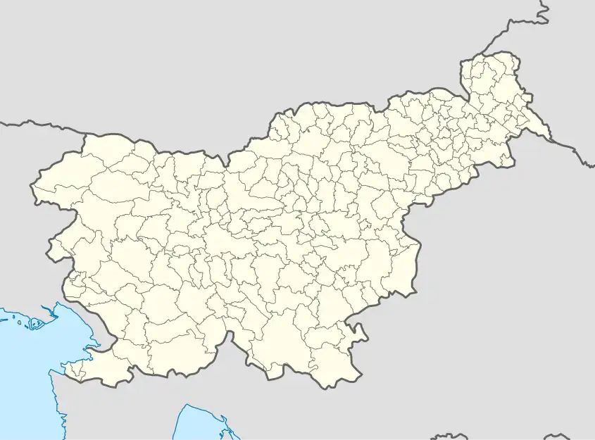 Peščeni Vrh Location in Slovenia | |
| Coordinates: 46°33′37.24″N 15°57′39.23″E / 46.5603444°N 15.9608972°E | |
| Country | |
| Traditional region | Styria |
| Statistical region | Drava |
| Municipality | Cerkvenjak |
| Area | |
| • Total | 0.4 km2 (0.2 sq mi) |
| Elevation | 314.2 m (1,030.8 ft) |
| Population (2020) | |
| • Total | 121 |
| • Density | 300/km2 (780/sq mi) |
| [1] | |
Peščeni Vrh (pronounced [ˈpeːʃtʃɛni ˈʋəɾx]) is a small settlement in the Municipality of Cerkvenjak in northeastern Slovenia. It lies in the Slovene Hills (Slovene: Slovenske gorice) east of Cerkvenjak. The area is part of the traditional region of Styria. The entire municipality is now included in the Drava Statistical Region.[2]
References
External links
| Settlements | Administrative seat: Cerkvenjak
|  |
|---|---|---|
| Landmarks |
| |
This article is issued from Wikipedia. The text is licensed under Creative Commons - Attribution - Sharealike. Additional terms may apply for the media files.