Riwan
Rīwan | |
|---|---|
Village | |
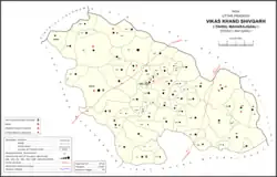 Map showing Riwan (#885) in Shivgarh CD block | |
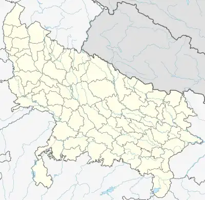 Riwan Location in Uttar Pradesh, India | |
| Coordinates: 26°30′14″N 81°17′31″E / 26.503867°N 81.291878°E[1] | |
| Country India | |
| State | Uttar Pradesh |
| District | Raebareli |
| Area | |
| • Total | 5.526 km2 (2.134 sq mi) |
| Population (2011)[2] | |
| • Total | 3,220 |
| • Density | 580/km2 (1,500/sq mi) |
| Languages | |
| • Official | Hindi |
| Time zone | UTC+5:30 (IST) |
| Vehicle registration | UP-35 |
Riwan is a village in Shivgarh block of Rae Bareli district, Uttar Pradesh, India.[2] As of 2011, its population is 3,220, in 556 households.[2] It has two primary schools and no healthcare facilities.[2]
The 1961 census recorded Riwan as comprising 4 hamlets, with a total population of 1,260 people (672 male and 588 female), in 285 households and 271 physical houses.[3] The area of the village was given as 1,495 acres.[3]
The 1981 census recorded Riwan as having a population of 1,783 people, in 358 households, and having an area of 605.01 hectares.[4]
References
- ↑ "coordinates". Search for "Riwan" here.
- 1 2 3 4 5 "Census of India 2011: Uttar Pradesh District Census Handbook - Rae Bareli, Part A (Village and Town Directory)" (PDF). Census 2011 India. pp. 91–107. Retrieved 27 July 2021.
- 1 2 Census 1961: District Census Handbook, Uttar Pradesh (39 - Raebareli District) (PDF). Lucknow. 1965. pp. xvi-xvii of section "Maharajganj Tahsil". Retrieved 27 July 2021.
{{cite book}}: CS1 maint: location missing publisher (link) - ↑ Census 1981 Uttar Pradesh: District Census Handbook Part XIII-A: Village & Town Directory, District Rae Bareli (PDF). 1982. pp. 36–7. Retrieved 27 July 2021.
This article is issued from Wikipedia. The text is licensed under Creative Commons - Attribution - Sharealike. Additional terms may apply for the media files.