Saint-Denis-lès-Rebais | |
|---|---|
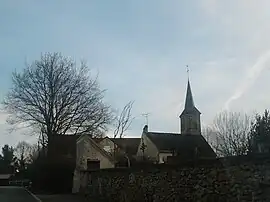 The church in Saint-Denis-lès-Rebais | |
Location of Saint-Denis-lès-Rebais | |
 Saint-Denis-lès-Rebais 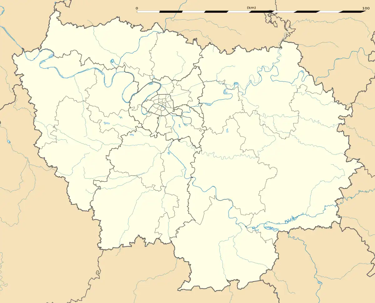 Saint-Denis-lès-Rebais | |
| Coordinates: 48°50′11″N 3°12′39″E / 48.8364°N 3.2108°E | |
| Country | France |
| Region | Île-de-France |
| Department | Seine-et-Marne |
| Arrondissement | Provins |
| Canton | Coulommiers |
| Government | |
| • Mayor (2020–2026) | Raymond Le Corre[1] |
| Area 1 | 15.12 km2 (5.84 sq mi) |
| Population | 1,012 |
| • Density | 67/km2 (170/sq mi) |
| Time zone | UTC+01:00 (CET) |
| • Summer (DST) | UTC+02:00 (CEST) |
| INSEE/Postal code | 77406 /77510 |
| Elevation | 90–177 m (295–581 ft) |
| 1 French Land Register data, which excludes lakes, ponds, glaciers > 1 km2 (0.386 sq mi or 247 acres) and river estuaries. | |
Saint-Denis-lès-Rebais (French pronunciation: [sɛ̃ dəni lɛ ʁəbɛ] ⓘ, literally Saint-Denis near Rebais) is a commune in the Seine-et-Marne department in the Île-de-France region in north-central France.
Demographics
Inhabitants of Saint-Denis-lès-Rebais are called Dyonisiens.
See also
References
- ↑ "Répertoire national des élus: les maires". data.gouv.fr, Plateforme ouverte des données publiques françaises (in French). 2 December 2020.
- ↑ "Populations légales 2021". The National Institute of Statistics and Economic Studies. 28 December 2023.
External links
Wikimedia Commons has media related to Saint-Denis-lès-Rebais.
- 1999 Land Use, from IAURIF (Institute for Urban Planning and Development of the Paris-Île-de-France région) (in English)
This article is issued from Wikipedia. The text is licensed under Creative Commons - Attribution - Sharealike. Additional terms may apply for the media files.