| Scarp Mountain | |
|---|---|
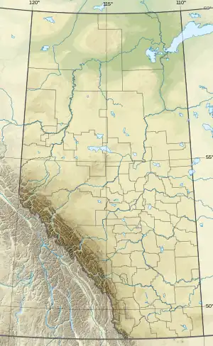 Scarp Mountain Location in Alberta and British Columbia  Scarp Mountain Scarp Mountain (British Columbia) | |
| Highest point | |
| Elevation | 3,000 m (9,800 ft)[1][2] |
| Prominence | 317 m (1,040 ft)[3] |
| Parent peak | Mount Fraser (3313 m)[3] |
| Listing | |
| Coordinates | 52°37′59″N 118°21′21″W / 52.63306°N 118.35583°W[4] |
| Geography | |
| Country | Canada |
| Provinces | Alberta and British Columbia |
| Protected areas | |
| Parent range | Park Ranges |
| Topo map | NTS 83D9 Amethyst Lakes[4] |
| Climbing | |
| First ascent | 1933 Rex Gibson, E.R. Woolf[1][3] |
Scarp Mountain is located on the border of Alberta and British Columbia, at the southern end of Mount Robson Provincial Park.[5] It was named in 1922 by Arthur O. Wheeler.[1][3]
See also
References
- 1 2 3 "Scarp Mountain". cdnrockiesdatabases.ca. Retrieved 2021-11-07.
- ↑ "Topographic map of Scarp Mountain". opentopomap.org. Retrieved 2021-11-07.
- 1 2 3 4 "Scarp Mountain". Bivouac.com. Retrieved 2021-11-07.
- 1 2 "Scarp Mountain (Alberta)". Geographical Names Data Base. Natural Resources Canada. Retrieved 2021-11-07.
- ↑ "Scarp Mountain". BC Geographical Names. Retrieved 2021-11-07.
This article is issued from Wikipedia. The text is licensed under Creative Commons - Attribution - Sharealike. Additional terms may apply for the media files.