Villavallelonga | |
|---|---|
| Comune di Villavallelonga | |
 | |
Location of Villavallelonga | |
 Villavallelonga Location of Villavallelonga in Italy 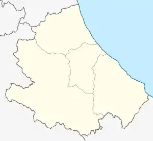 Villavallelonga Villavallelonga (Abruzzo) | |
| Coordinates: 41°52′21″N 13°37′20″E / 41.87250°N 13.62222°E | |
| Country | Italy |
| Region | Abruzzo |
| Province | L'Aquila (AQ) |
| Government | |
| • Mayor | Leonardo Lippa |
| Area | |
| • Total | 73.28 km2 (28.29 sq mi) |
| Elevation | 1,005 m (3,297 ft) |
| Population (31 December 2010)[2] | |
| • Total | 931 |
| • Density | 13/km2 (33/sq mi) |
| Demonym | Villavallelonghesi |
| Time zone | UTC+1 (CET) |
| • Summer (DST) | UTC+2 (CEST) |
| Postal code | 67050 |
| Dialing code | 0863 |
| Patron saint | St. Leucius |
| Saint day | September 2 |
| Website | Official website |
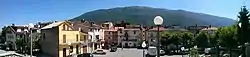
Villavallelonga (locally La Vìlla) is a village and comune in the Abruzzo region in central Italy. A part of Marsica traditional area, it is included in the Abruzzo, Lazio and Molise National Park.
Main sights
References
- ↑ "Superficie di Comuni Province e Regioni italiane al 9 ottobre 2011". Italian National Institute of Statistics. Retrieved 16 March 2019.
- ↑ Demographic data from Istat
This article is issued from Wikipedia. The text is licensed under Creative Commons - Attribution - Sharealike. Additional terms may apply for the media files.