Akhurik
Ախուրիկ | |
|---|---|
 Akhurik 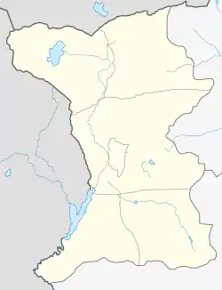 Akhurik | |
| Coordinates: 40°45′00″N 43°47′00″E / 40.75000°N 43.78333°E | |
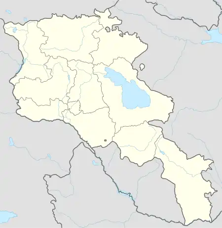
| Country | Armenia |
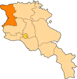
| Province | Shirak |
| Municipality | Akhuryan |
| Elevation | 1,470 m (4,820 ft) |
| Population (2010) | |
| • Total | 1,236 |
| Time zone | UTC+4 |
| Climate | Dfb |
| Akhurik at GEOnet Names Server | |
Akhurik (Armenian: Ախուրիկ) is a village in the Akhuryan Municipality of the Shirak Province of Armenia near the Armenia–Turkey border. The Statistical Committee of Armenia reported its population was 1,236 in 2010,[1] up from 1,163 at the 2001 census.[2]
Demographics
| Year | Pop. | ±% p.a. |
|---|---|---|
| 1886 | 410 | — |
| 1897 | 484 | +1.52% |
| 1926 | 739 | +1.47% |
| 1939 | 1,119 | +3.24% |
| 1959 | 941 | −0.86% |
| 1970 | 1,137 | +1.73% |
| 1979 | 1,107 | −0.30% |
| 2001 | 1,163 | +0.22% |
| 2004 | 1,069 | −2.77% |
| Source: [3] | ||
References
- ↑ "Marzes of Armenia and Yerevan City in Figures, 2010" (PDF). Statistical Committee of Armenia.
- ↑ Report of the results of the 2001 Armenian Census, Statistical Committee of Armenia
- ↑ Հայաստանի Հանրապետության բնակավայրերի բառարան [Republic of Armenia settlements dictionary] (PDF) (in Armenian). Yerevan: Cadastre Committee of the Republic of Armenia. 2008. Archived from the original (PDF) on 11 March 2018.
This article is issued from Wikipedia. The text is licensed under Creative Commons - Attribution - Sharealike. Additional terms may apply for the media files.