Kamkhut
Կամխուտ | |
|---|---|
village | |
 Kamkhut 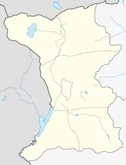 Kamkhut | |
| Coordinates: 40°54′N 43°42′E / 40.900°N 43.700°E | |
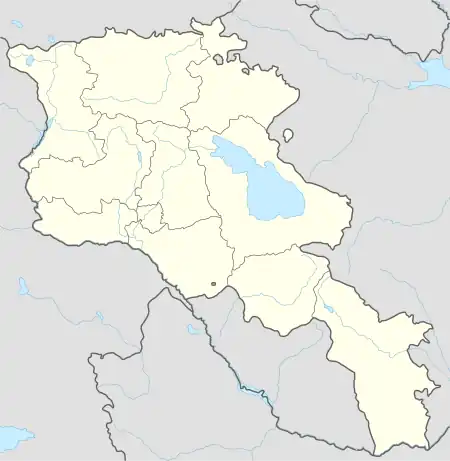
| Country | Armenia |
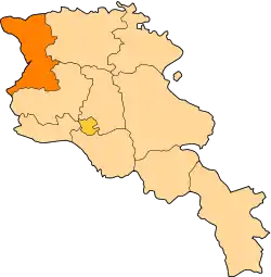
| Province | Shirak |
| Municipality | Amasia |
| Population (2011) | |
| • Total | 2 |
| Time zone | UTC+4 |
| Kamkhut at GEOnet Names Server | |
Kamkhut (Armenian: Կամխուտ) is a village in the Amasia Municipality in the Shirak Province of Armenia.
History
Armenians and Azeris once lived in the village, as well as Greeks, who even had a church, of which a half-ruined wall remains in the center of the village. In 1988-1989 Armenians from Akhalkalaki, Gyumri, Talin, Amasia and Nagorno-Karabakh settled in the village.[1]
Demographics
The population of the village since 1886 is as follows:[2]
| Year | Population |
|---|---|
| 1886 | 222 |
| 1897 | 282 |
| 1926 | 252 |
| 1939 | 317 |
| 1959 | 230 |
| 1970 | 204 |
| 1979 | 245 |
| 1989 | 25 |
| 2004 | 55 |
References
- ↑ Yeranuhi Soghoyan (26 October 2009). "Frontier Villages on Hold: What Do Residents Expect From a Border Opening?". hetq.am. Retrieved 21 March 2021.
- ↑ Հայաստանի Հանրապետության բնակավայրերի բառարան [Republic of Armenia settlements dictionary] (PDF) (in Armenian). Yerevan: Cadastre Committee of the Republic of Armenia. 2008. Archived from the original (PDF) on 11 March 2018.
This article is issued from Wikipedia. The text is licensed under Creative Commons - Attribution - Sharealike. Additional terms may apply for the media files.