41°04′44″N 43°49′18″E / 41.07889°N 43.82167°E
Ghazanchi
Ղազանչի | |
|---|---|
 Ghazanchi 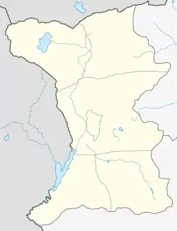 Ghazanchi | |
| Coordinates: 41°04′44″N 43°49′18″E / 41.07889°N 43.82167°E | |
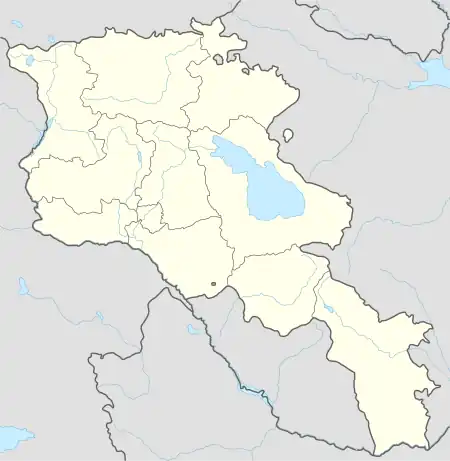
| Country | Armenia |
| Province | Shirak |
| Municipality | Ashotsk |
| Elevation | 2,030 m (6,660 ft) |
| Population (2001) | |
| • Total | 571 |
| Time zone | UTC+4 |
| • Summer (DST) | UTC+5 |
Ghazanchi (Armenian: Ղազանչի) is a village in the Ashotsk Municipality of the Shirak Province of Armenia.
Demographics
| Year | Pop. | ±% p.a. |
|---|---|---|
| 1873 | 351 | — |
| 1897 | 786 | +3.42% |
| 1926 | 1,152 | +1.33% |
| 1939 | 1,408 | +1.56% |
| 1959 | 828 | −2.62% |
| 1970 | 558 | −3.52% |
| 1979 | 564 | +0.12% |
| 2001 | 571 | +0.06% |
| 2004 | 525 | −2.76% |
| Source: [1] | ||
References
- ↑ Հայաստանի Հանրապետության բնակավայրերի բառարան [Republic of Armenia settlements dictionary] (PDF) (in Armenian). Yerevan: Cadastre Committee of the Republic of Armenia. 2008. Archived from the original (PDF) on 11 March 2018.
- Ghazanchi at GEOnet Names Server
- Report of the results of the 2001 Armenian Census, Statistical Committee of Armenia
Capital: Gyumri | ||
| Urban settlements | 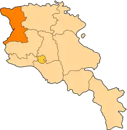 | |
| Akhuryan Municipality | ||
| Amasia Municipality | ||
| Ani Municipality | ||
| Artik Municipality | ||
| Ashotsk Municipality | ||
This article is issued from Wikipedia. The text is licensed under Creative Commons - Attribution - Sharealike. Additional terms may apply for the media files.