Castel Ivano | |
|---|---|
| Comune di Castel Ivano | |
.JPG.webp) | |
Location of Castel Ivano | |
 Castel Ivano Location of Castel Ivano in Italy 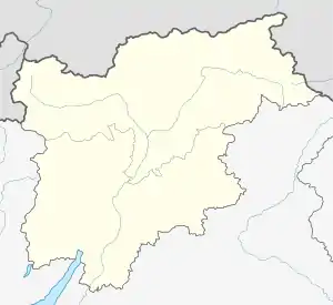 Castel Ivano Castel Ivano (Trentino-Alto Adige/Südtirol) | |
| Coordinates: 46°3′59″N 11°31′25″E / 46.06639°N 11.52361°E | |
| Country | Italy |
| Region | Trentino-Alto Adige/Südtirol |
| Province | Trentino (TN) |
| Frazioni | Agnedo, Barricata, Ivano-Fracena, Latini, Lupi, Oltrebrenta, Pellegrini, Prati dei Floriani, Spera, Strigno (communal seat), Tomaselli, Torgheli, Villa |
| Government | |
| • Mayor | Alberto Vesco |
| Area | |
| • Total | 34.38 km2 (13.27 sq mi) |
| Elevation | 506 m (1,660 ft) |
| Population (1 January 2016)[1] | |
| • Total | 3,301 |
| • Density | 96/km2 (250/sq mi) |
| Time zone | UTC+1 (CET) |
| • Summer (DST) | UTC+2 (CEST) |
| Postal code | 38059 |
| Dialing code | 0461 |
| Website | Official website |
Castel Ivano is a comune (municipality) in Trentino in the northern Italian region Trentino-Alto Adige/Südtirol. It was formed on 1 January 2016 as the merger of the previous communes of Strigno, Spera and Villa Agnedo. In July 2016 it also absorbed the commune of Ivano-Fracena.
It is located in Valsugana, midway between Borgo Valsugana and the boundary with Veneto.
Sights include the eponymous "Castel Ivano", a medieval fortress originally located in the frazione of Ivano-Fracena
References
External links

This article is issued from Wikipedia. The text is licensed under Creative Commons - Attribution - Sharealike. Additional terms may apply for the media files.