| Ivondro River | |
|---|---|
 Ivondro River | |
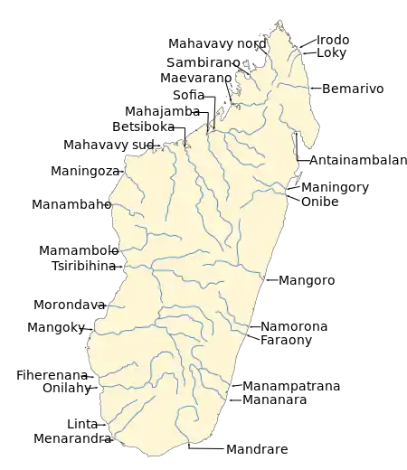 Map of Malagasy rivers. | |
| Location | |
| Country | Madagascar |
| Region | Alaotra-Mangoro, Atsinanana |
| Physical characteristics | |
| Source | |
| • elevation | 1200m |
| Mouth | Indian Ocean |
• location | south of Toamasina |
• coordinates | 18°16′21″S 49°21′57″E / 18.2724°S 49.3657°E |
• elevation | 0m |
| Length | 150 km (93 mi) |
| Basin size | 3300 km2 |
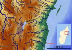
The Ivondro River in Alaotra-Mangoro and Atsinanana regions, is located in central-eastern Madagascar. It drains to the eastern coast. It flows into the Canal des Pangalanes and the Indian Ocean[1] south of Toamasina.
A hydro-power station will be built near Volobe.[2]

Bridge of RN 2 over the Ivondro
The National Road 2 crosses this river near Fanandrana, Toamasina.
References
This article is issued from Wikipedia. The text is licensed under Creative Commons - Attribution - Sharealike. Additional terms may apply for the media files.