| Mananantanana | |
|---|---|
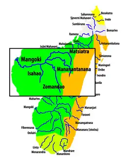 Mananantanana | |
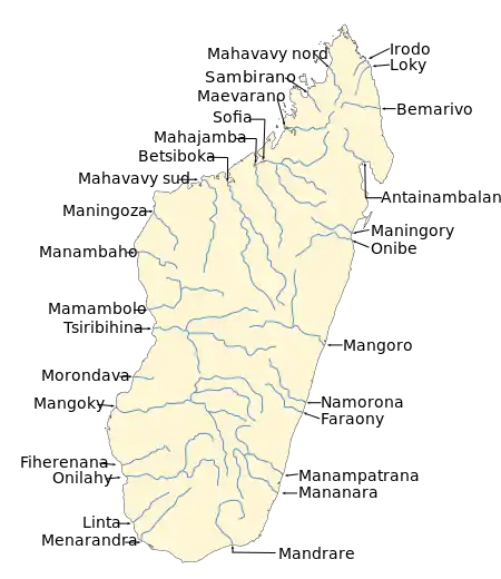 Map of Malagasy rivers. | |
| Location | |
| Country | Madagascar |
| Region | Haute Matsiatra |
| Physical characteristics | |
| Source | |
| • location | Tsitondroina |
| • elevation | 1850 m |
| Mouth | Mangoky River |
• coordinates | 21°26′00″S 45°34′00″E / 21.43333°S 45.56667°E |
| Length | 350 km (220 mi) |
| Basin size | 7680 km2 |
| Basin features | |
| Progression | Solila, Ambalavao |
| River system | Mangoky River |
| Tributaries | |
| • right | Manambovo |
The Mananantanana is a river in Haute Matsiatra region, is located in eastern Madagascar. It flows into the Mangoky River.[1]
It has its springs in the Andringitra Massif. Together with the Matsiatra it forms the Mangoky River.
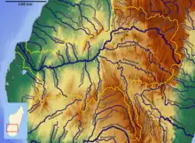
Mangoky Bassin
References
This article is issued from Wikipedia. The text is licensed under Creative Commons - Attribution - Sharealike. Additional terms may apply for the media files.