| Manajary (River) | |
|---|---|
.jpg.webp) | |
 | |
| Location | |
| Country | Madagascar |
| Region | Vatovavy |
| Physical characteristics | |
| Source | |
| • location | south of Fandriana |
| • elevation | 1500 m |
| Mouth | |
• location | Mananjary |
• coordinates | 21°15′25″S 48°20′40″E / 21.25694°S 48.34444°E |
• elevation | 0 m (0 ft) |
| Basin size | 6780 km2 |
| Basin features | |
| Tributaries | |
| • left | Ampasory, Saka river, Maka river |
| • right | Ivoanana, Manaroko |
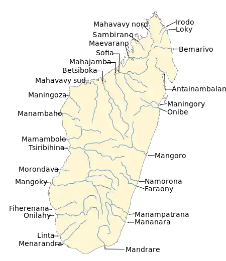
The Mananjary River is located in southern Madagascar, in the region of Vatovavy.
It drains to the eastern coast, into the Indian ocean. It serves as the southern edge of the territory known as Betsimisaraka.[1]
Its mouth is situated in the city of Mananjary.[2]
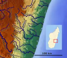
Mananjary river
References
- ↑ Helen Chapin Metz, ed., Madagascar: A Country Study, Library of Congress, 1994., accessed 14 August 2008
- ↑ "Mananjary - Madagascar".
This article is issued from Wikipedia. The text is licensed under Creative Commons - Attribution - Sharealike. Additional terms may apply for the media files.